Start from… Places Pick what you want to see, we find the walks Walks Pick walks, see every place they pass Pick the walks you want to do Every walk lists all the places it passes, so you can see what you get before you add it. Picked walks go straight into your trip; the route on the right adds up as you go.
All areas Whakapapa Village Upper Ruapehu & Whakapapa Ski Area Ohakune & Tūroa Tongariro & Mangatepōpō Desert Road & Rangipō Any length Short walk Half day Full day Multi-day Any difficulty Up to easiest Up to easy Up to intermediate Up to advanced Up to expert
27 walks in 5 areas
© Bohwaz · FAL © Pavel Špindler · CC BY 3.0 Intermediate · Full day 17 km 5–6 hr return ↑ 686 m
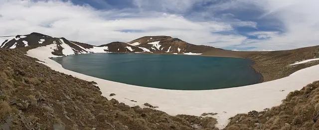
Past Taranaki Falls and across the Tama Saddle to two crater lakes between Ruapehu and Ngāuruhoe. The best big-scenery day walk from the village.
from Whakapapa Village
+ Add walk
© Krzysztof Golik · CC BY-SA 4.0 © Krzysztof Golik · CC BY-SA 4.0 Easy · Half day 6.0 km 2 hr loop ↑ 146 m
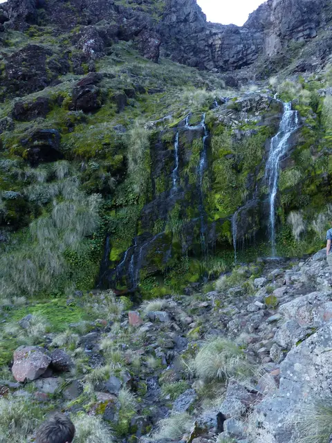
The classic Whakapapa walk: open tussock with volcano views, beech forest, a gorge, and a 20 m waterfall over an old lava flow.
from Whakapapa Village (Ngauruhoe Place)
+ Add walk
© Krzysztof Golik · CC BY-SA 4.0 Easy · Half day 7.0 km 2.5 hr loop ↑ 276 m
Beech forest, Punaruku Falls and a golden stream bed lead to white silica terraces beneath a lava flow. Return down Bruce Road or do the short 1.5 hr version from the upper car park.
from Whakapapa Village (or Bruce Road car park for the short version)
+ Add walk
© NightOwlCall · CC0 Easy · Short walk 1.2 km 40 min return ↑ 91 m
A steady climb through forest to an alpine ridge with the best quick view of Ngāuruhoe and Ruapehu.
from Whakapapa Village, opposite the visitor centre
+ Add walk
© Mike Dickison · CC0 © Sarang · WTFPL Intermediate · Full day 16 km 4–5 hr loop ↑ 640 m
A quieter loop into a remote valley beneath Ruapehu’s western lava flows, with a hut, moraine ridges and big mountain views.
from Whakapapa Village
+ Add walk
© Blueromulan · CC BY-SA 3.0 Easiest · Short walk 800 m 20 min return ↑ 18 m
A ten-minute forest stroll to a lava-lip waterfall and the plunge pool used as Gollum’s Pool.
from Tawhai Falls car park, SH48 (4 km below Whakapapa Village)
+ Add walk
© Michal Klajban · CC BY-SA 4.0 Easiest · Short walk 400 m 20 min return ↑ 0 m
A short climb onto a landslide hummock for a panorama of all three volcanoes.
from Mounds Walk car park, SH48
+ Add walk
© Krzysztof Golik · CC BY-SA 4.0 © Department of Conservation · CC BY 4.0 Easy · Half day 6.0 km 2 hr return ↑ 126 m
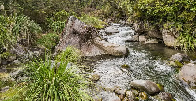
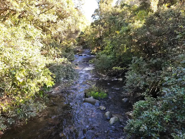
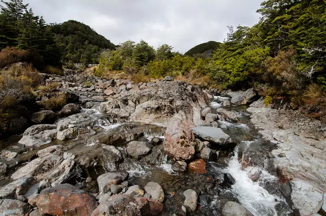
A sheltered forest walk beside a boulder-strewn mountain stream, ideal when cloud sits on the peaks.
from Whakapapa Village (or the Whakapapanui car park on SH48)
+ Add walk
Easiest · Short walk 300 m 15 min loop ↑ 15 m
An accessible interpretive loop through alpine shrubland and beech forest.
from Whakapapa Village, above the visitor centre
+ Add walk
You'll see 0 places no named places, just the walk itself
© Krzysztof Golik · CC BY-SA 4.0 © Kesara Rathnayake · CC BY-SA 2.0 Advanced · Half day 2.3 km 1.5–2.5 hr return from Knoll Ridge ↑ 236 m
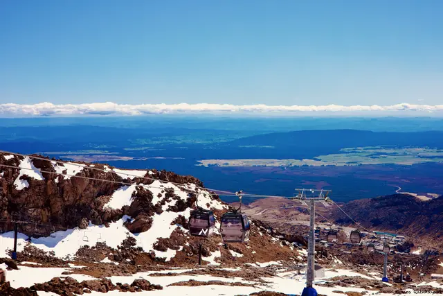
A high, exposed summer trail from the gondola to a 2,300 m ridge with the widest panorama on the mountain.
from Knoll Ridge Chalet (top of the Sky Waka gondola)
+ Add walk
© Michal Klajban · CC BY-SA 4.0 © WolfmanSF · CC BY-SA 3.0 Expert · Full day 0 m 4–7 hr return from the top lifts ↑ 900 m
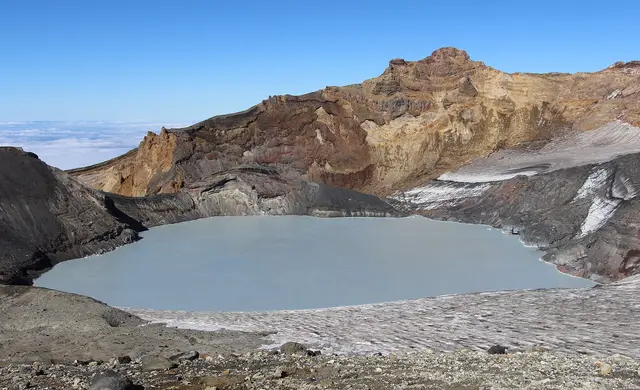
An unmarked alpine climb to the rim of an active volcano’s steaming crater lake. Guided trips run in summer.
from Top of the Whakapapa lifts (summer) or Iwikau Village
+ Add walk
© ELLK Photographic · CC BY 2.0 © Kiwiz1338 · CC BY 3.0 Easy · Short walk 1.0 km 20–30 min return ↑ 60 m
The quickest walk to dramatic lava cliffs, big views and, for much of the year, snow. A Lord of the Rings location.
from Top of Bruce Road, Iwikau Village car park
+ Add walk
© Kesara Rathnayake · CC BY-SA 2.0 Intermediate · Half day 2.4 km 1–2 hr descent ↑ 7 m
Ride the Sky Waka up and walk down through the Waterfall gullies past seasonal cascades and lava bluffs.
from Knoll Ridge Chalet, descending to the top of Bruce Road
+ Add walk
© ShakyIsles · CC BY-SA 4.0 © ShakyIsles · CC BY-SA 4.0 Easy · Half day 4.0 km 1 hr 20 min return ↑ 316 m
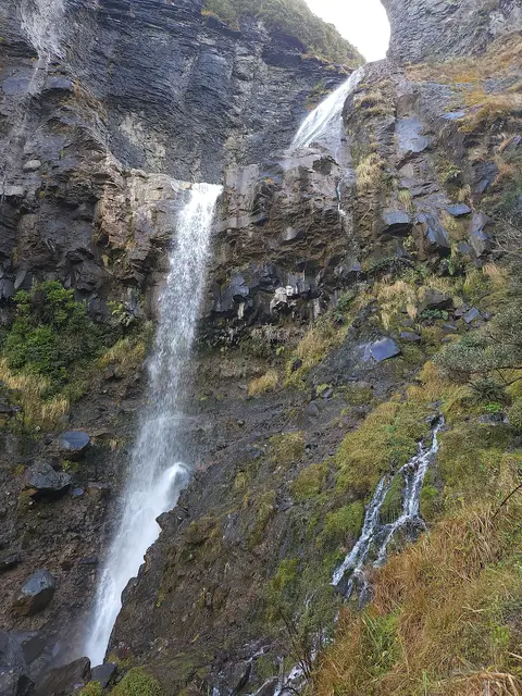
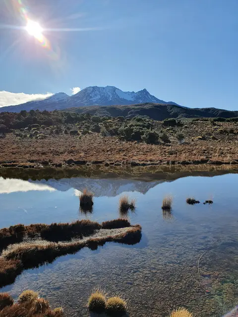
Boardwalk across an alpine wetland that mirrors Ruapehu, then forest to the park’s highest waterfall.
from Ohakune Mountain Road, 11 km above Ohakune
+ Add walk
© Sarang · Public domain © ShakyIsles · CC BY-SA 4.0 Intermediate · Half day 4.0 km 2 hr one way ↑ 608 m
A gentle overnighter or half-day: past the Rotokawa pools and above Waitonga Falls to a hut in the beech forest.
from Waitonga Falls car park, Ohakune Mountain Road
+ Add walk
© ShakyIsles · CC BY-SA 4.0 © Geoff McKay · CC BY 2.0 Advanced · Full day 9.0 km 4–5 hr return ↑ 796 m
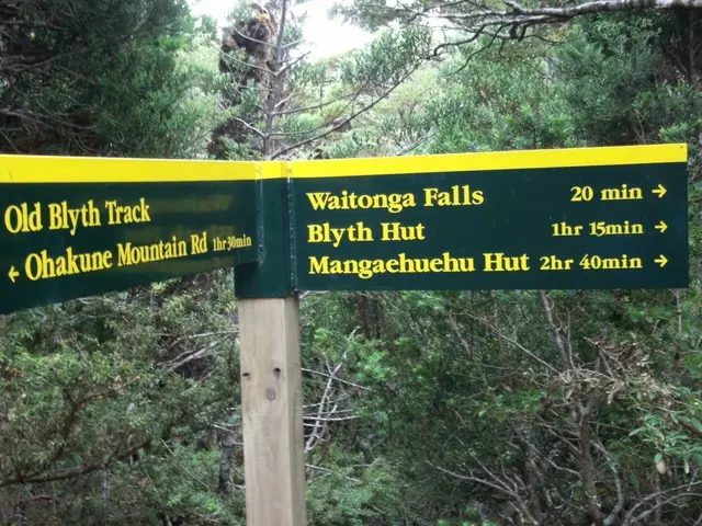
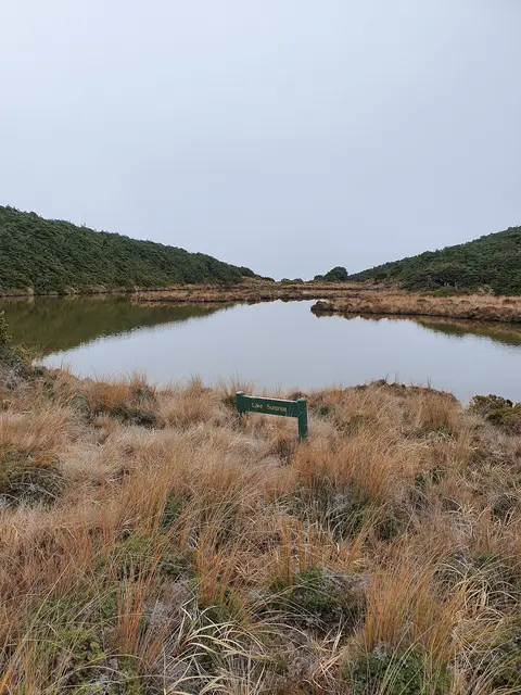
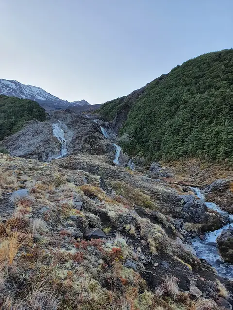
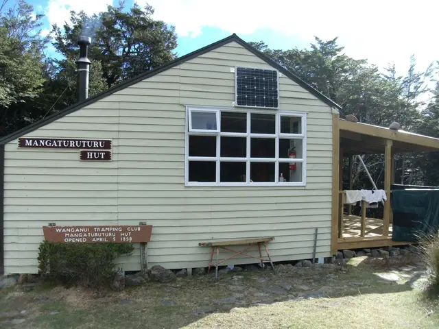
A wild backcountry day: a cascade down a lava flow, the Mangaturuturu hut and valley, and a hidden alpine lake.
from Ohakune Mountain Road, 13 km above Ohakune (Round the Mountain Track sign)
+ Add walk
© Johnragla · CC BY-SA 4.0 Easy · Full day 15 km 4–5 hr one way (2 hr return to the viaduct) ↑ 715 m
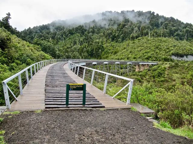
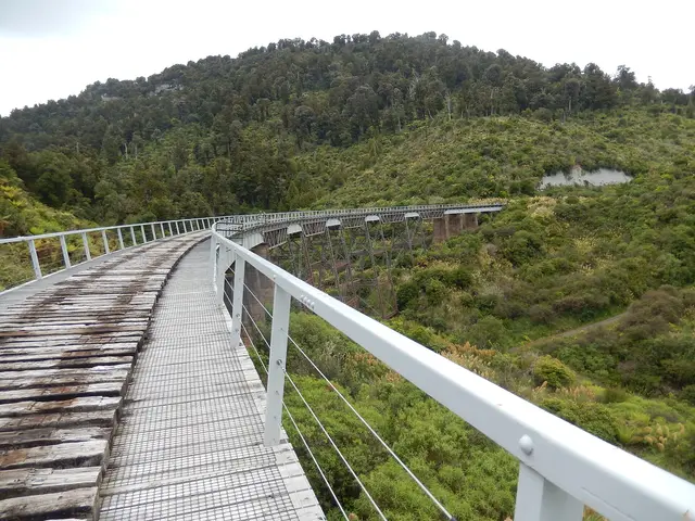
A historic cobbled coach road through forest to the curving Hapuawhenua Viaduct and a railway tunnel. Walk or bike.
from Marshalls Road, Ohakune (to Horopito)
+ Add walk
© ShakyIsles · CC BY-SA 4.0 Advanced · Full day 11 km 4–5 hr return (Taranaki Lookout 1 hr) ↑ 395 m
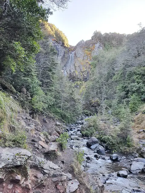
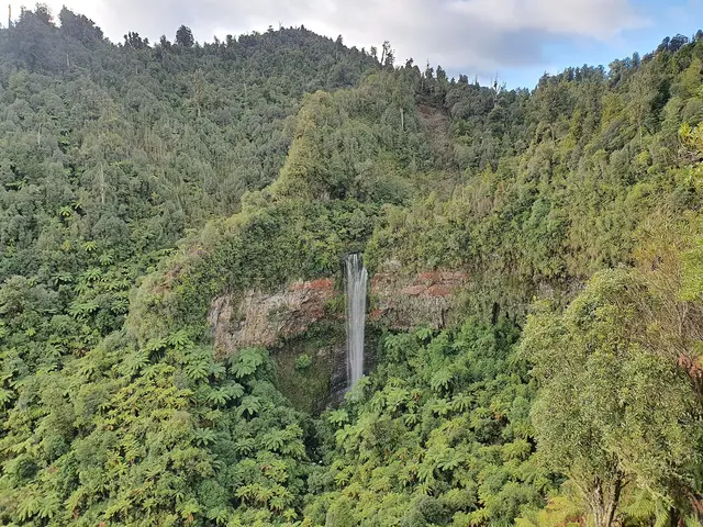
A forest track west of the park to a lookout facing Mount Taranaki and a remote, tall waterfall.
from Fishers Road, Erua (near National Park Village)
+ Add walk
Easiest · Short walk 200 m 10 min return ↑ 4 m
A two-minute walk from the road to a wide waterfall in a mossy gorge, filmed as Ithilien.
from Ohakune Mountain Road, 15 km above Ohakune
+ Add walk
Easy · Short walk 1.1 km 30 min return (1 hr to both lakes) ↑ 111 m
A quiet forest lake where Ruapehu reflects in still water. A sacred place: no swimming, fishing or eating.
from Rotokura car park, Karioi (off SH49, 10 km from Ohakune)
+ Add walk
© ShakyIsles · CC BY-SA 4.0 Easy · Short walk 3.4 km 1 hr 15 min loop ↑ 230 m
A loop through giant rimu and kāmahi forest with a riverside section.
from Start of Ohakune Mountain Road, by the DOC office
+ Add walk
© Geoff McKay · CC BY 2.0 © Markrosenrosen · CC BY-SA 3.0 Advanced · Full day 19 km 7–8 hr one way ↑ 1111 m
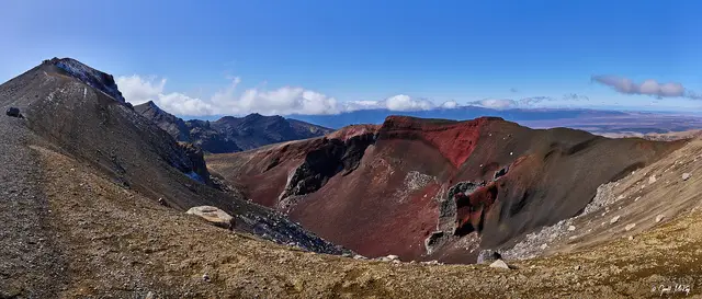
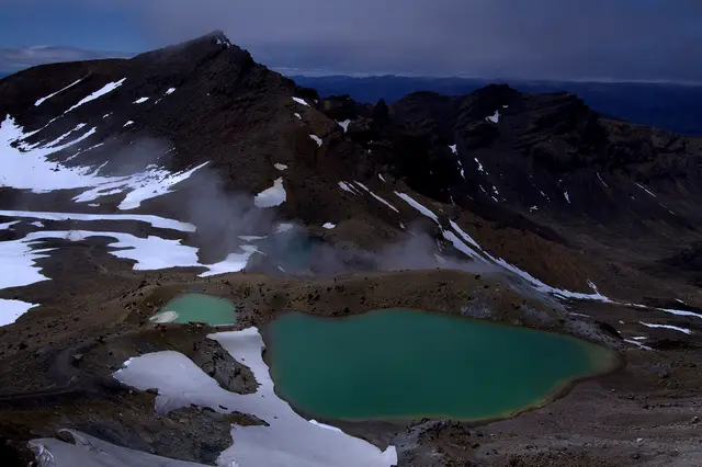
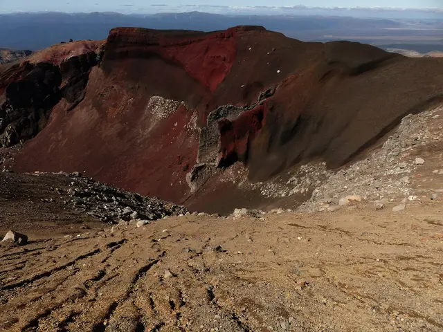
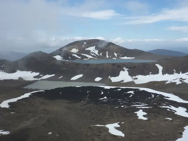
New Zealand’s most famous day walk: lava valleys, two craters, the steaming Red Crater, the Emerald and Blue Lakes and a long descent to the lakes of the north.
from Mangatepōpō Road end (shuttle required; parking limited to 4 hr)
+ Add walk
© Michal Klajban · CC BY-SA 4.0 © Geoff McKay · CC BY 2.0 Intermediate · Multi-day 43 km 3–4 days ↑ 1517 m
A Great Walk looping around Ngāuruhoe: the Crossing’s craters and lakes, the lava pinnacles of Oturere, beech forest at Waihohonu and the Tama Lakes.
from Whakapapa Village (Great Walk; huts must be booked)
+ Add walk
© Geoff McKay · CC BY 2.0 © Du Hugin Skulblaka · CC BY-SA 4.0 Easy · Half day 6.0 km 2 hr return ↑ 390 m
The gentle first stage of the Crossing: up a lava valley beneath Ngāuruhoe to a cold spring and its wildflowers.
from Mangatepōpō Road end
+ Add walk
© Mike Dickison · CC BY 4.0 Easy · Half day 5.0 km 2 hr loop ↑ 377 m
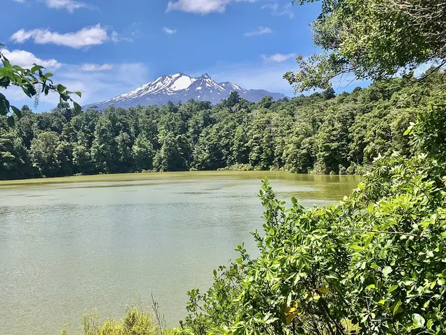
A gentle loop through tall forest around a greenstone-coloured crater lake with sandy beaches and lots of birds.
from SH47, Te Ponanga Saddle (11 km from Tūrangi)
+ Add walk
© Sarang · Public domain © ShakyIsles · CC BY-SA 4.0 Advanced · Multi-day 66 km 4–6 days ↑ 2340 m
A quiet, serious circuit of Ruapehu through desert, gorges, waterfalls, lava valleys and six huts, far from the crowds of the Crossing.
from Whakapapa Village (or Ohakune Mountain Road)
+ Add walk
© Michal Klajban · CC BY-SA 4.0 © sarang
Sarang · Public domain Easy · Half day 14 km 3–4 hr return ↑ 189 m
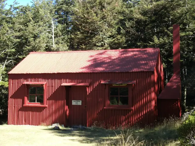
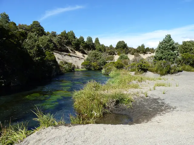
An easy walk in across open volcanic country to the park’s oldest hut and a spring that bursts fully formed from under a lava flow.
from Desert Road (SH1) car park, 12 km south of the Waiouru end
+ Add walk
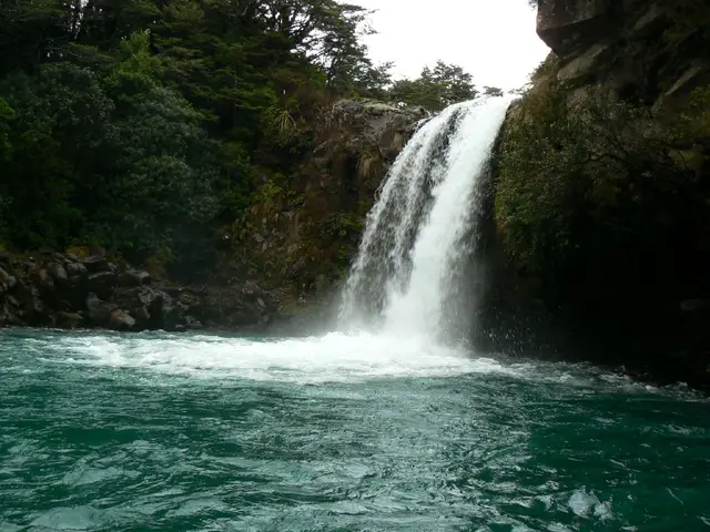
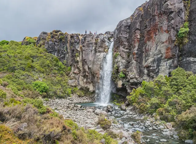 Taranaki Falls famous #5
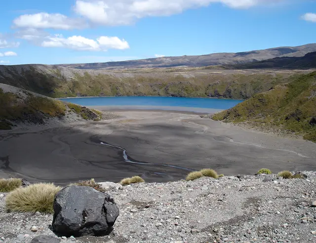 Lower Tama Lake famous #4
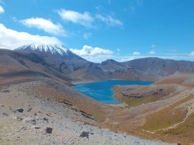 Upper Tama Lake famous #1
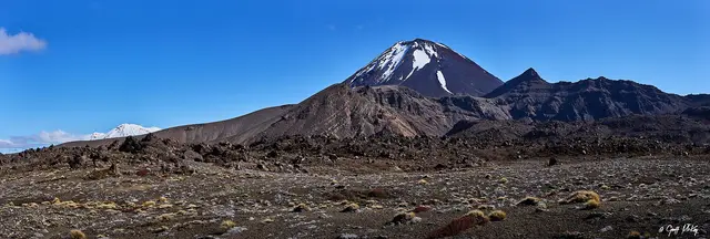
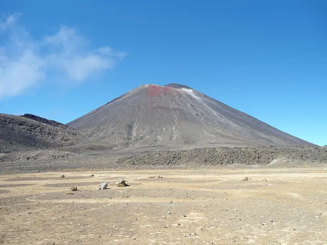
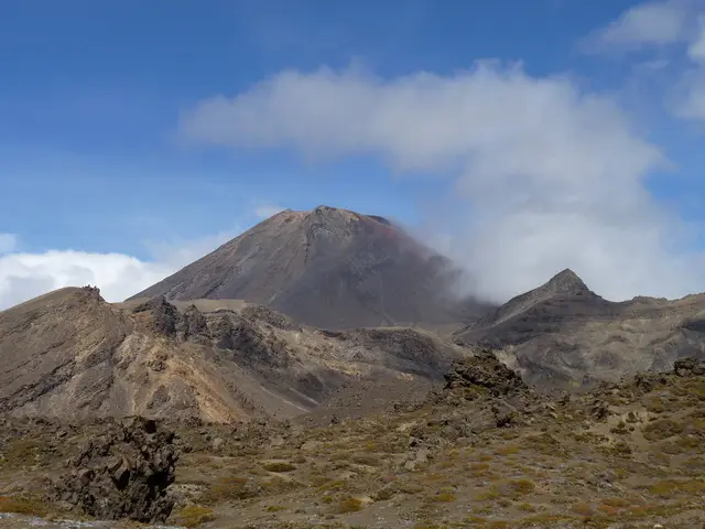
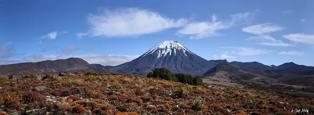
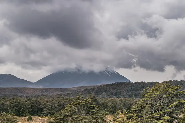 Mount Ngāuruhoe