 © Geoff McKay · CC BY 2.0
 © Markrosenrosen · CC BY-SA 3.0
Tongariro & Mangatepōpō
Tongariro Alpine Crossing
Advanced 19 kmone way 7–8 hr one way ↑ 1111 m
Steaming hot springs on private Māori land, seen from the long descent to Ketetahi Road.
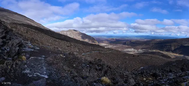
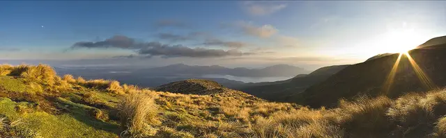
The Crossing’s northern side zigzags down tussock slopes past the steaming Ketetahi Springs (private land, no access) with Lake Rotoaira and Taupō spread out below, then enters podocarp forest for the final descent through the 2012 Te Māri lahar hazard zone to the road end.
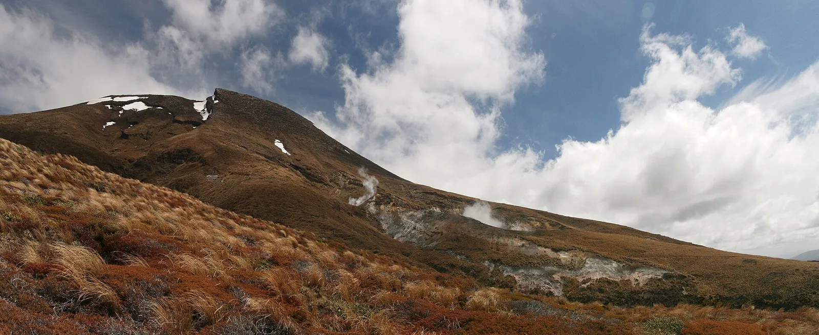 Ketetahi Springs & northern descent © Javier Sánchez Portero · CC BY-SA 3.0
 © Jeffrey Pang · CC BY 2.0
 © Archives New Zealand · CC BY-SA 2.0 © Geoff McKay · CC BY 2.0 © Markrosenrosen · CC BY-SA 3.0
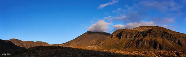 Mangatepōpō Valley © Geoff McKay · CC BY 2.0
 © Porcinno Rondus · CC BY 3.0
 © Michal Klajban · CC BY-SA 4.0
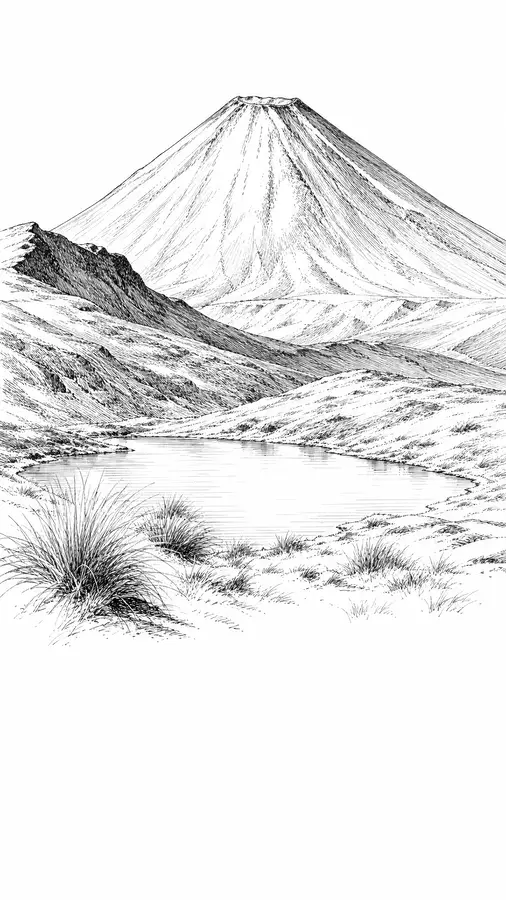
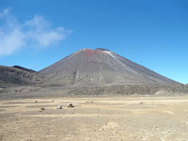
A glacial valley floored with young lava flows beneath the cone of Ngāuruhoe.
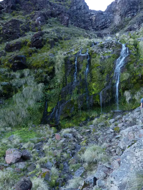
A cold spring seeping from the base of a lava flow, surrounded by alpine wildflowers in summer.
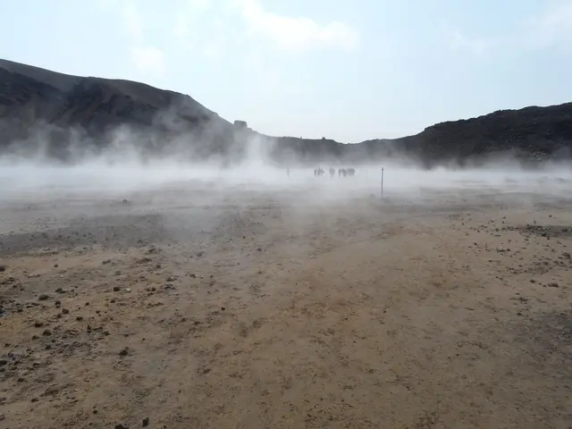
A flat, silent moonscape between Ngāuruhoe and Tongariro.