Whakapapa Village
Tama Lakes Track
Intermediate 17 kmreturn 5–6 hr return ↑ 686 m
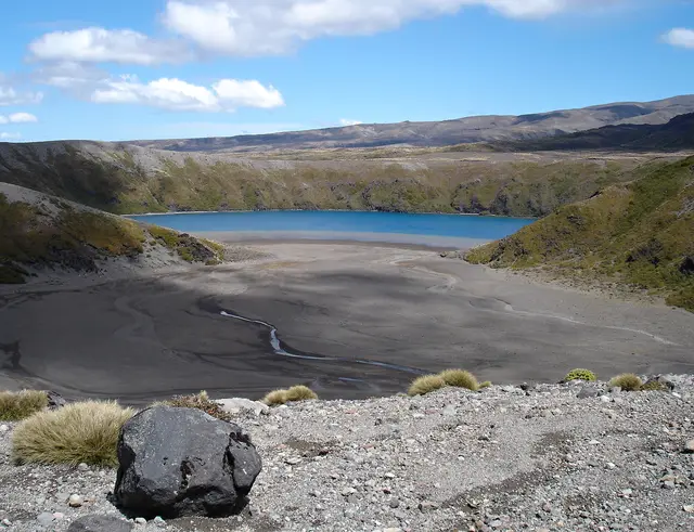
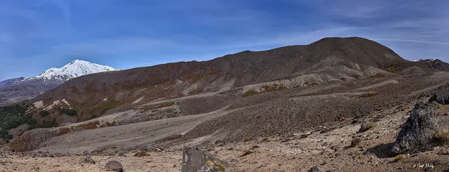
New Zealand’s most famous day walk: lava valleys, two craters, the steaming Red Crater, the Emerald and Blue Lakes and a long descent to the lakes of the north.
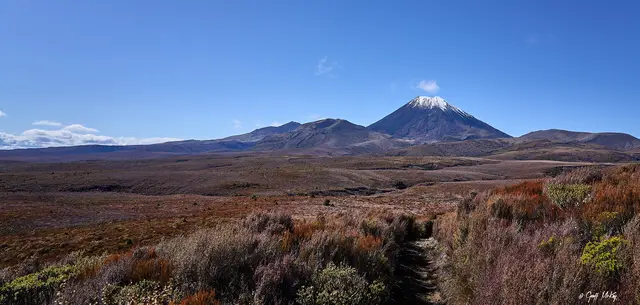
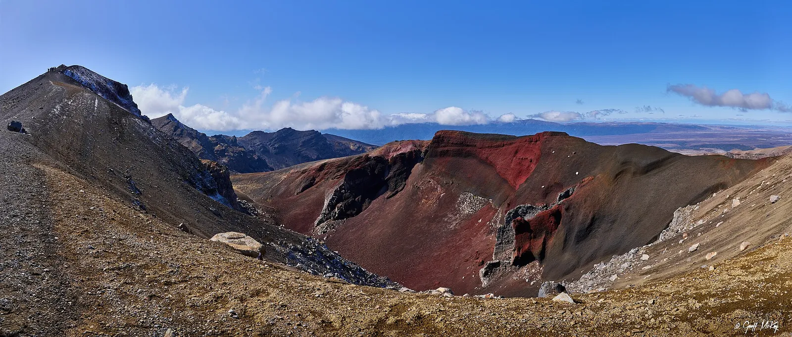 Tongariro Alpine Crossing © Geoff McKay · CC BY 2.0
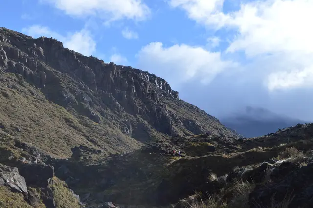
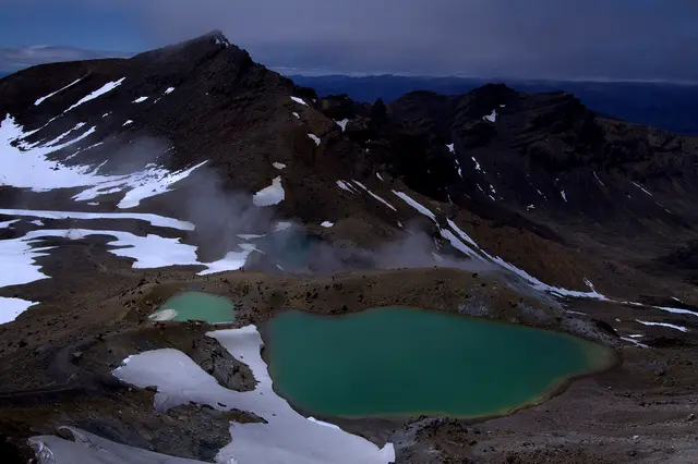 © Markrosenrosen · CC BY-SA 3.0
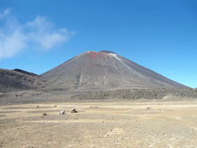 © Blueromulan · CC BY-SA 3.0
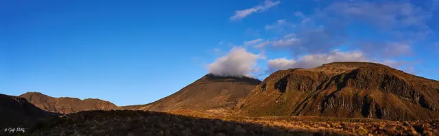
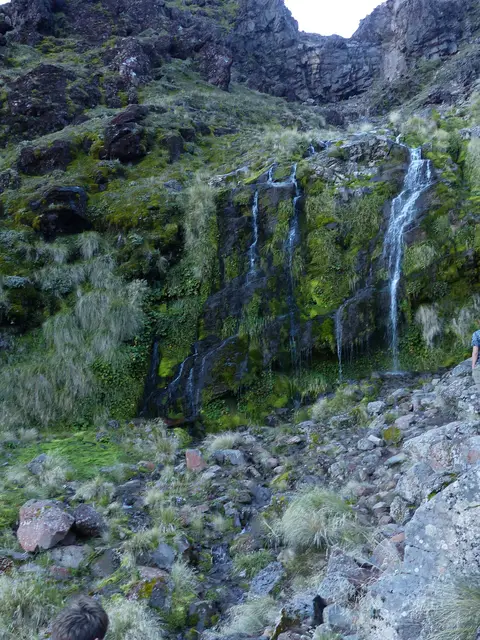
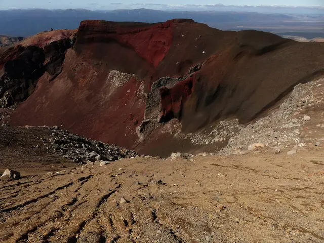
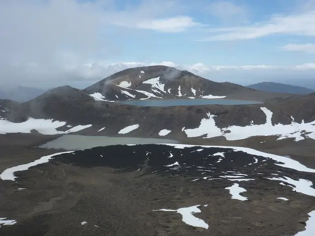
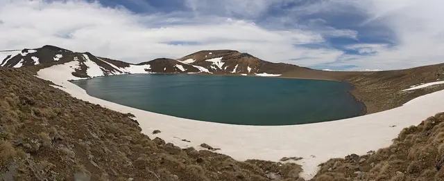
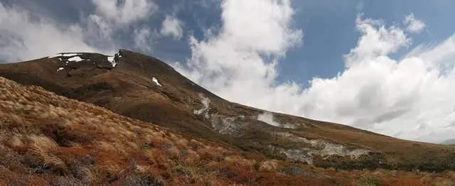
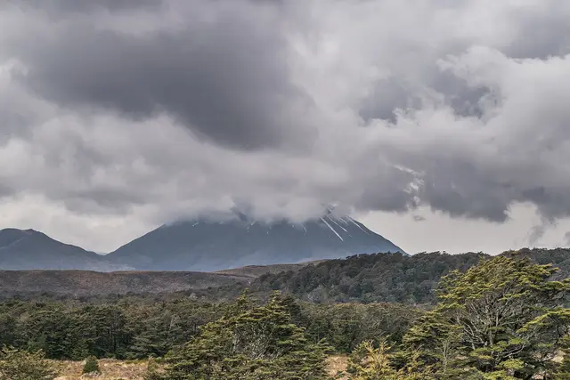
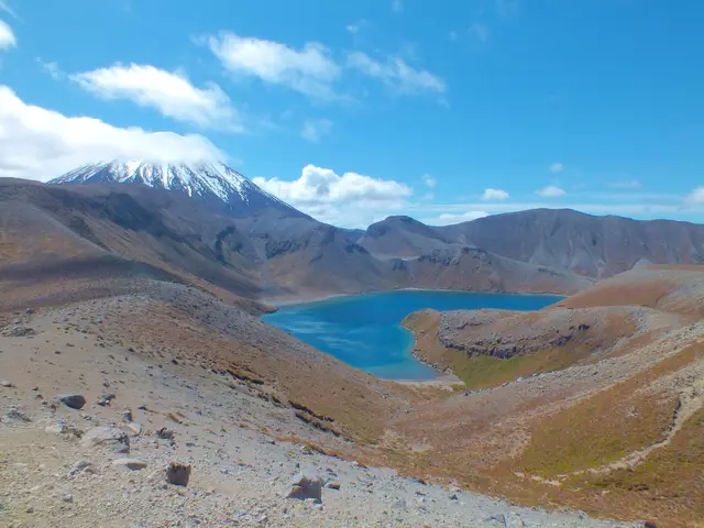
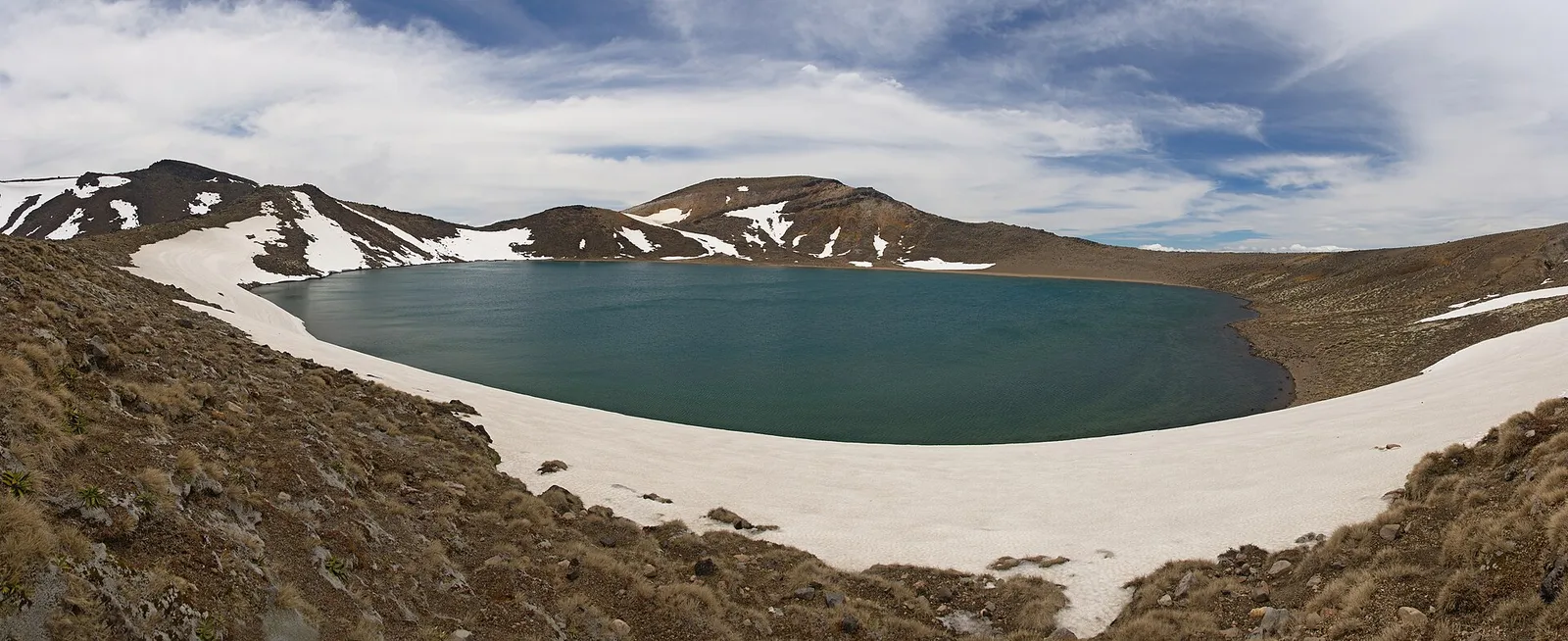
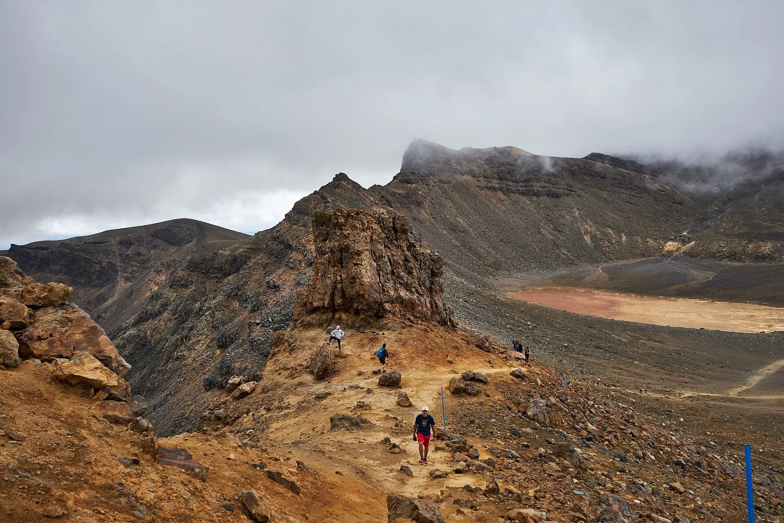
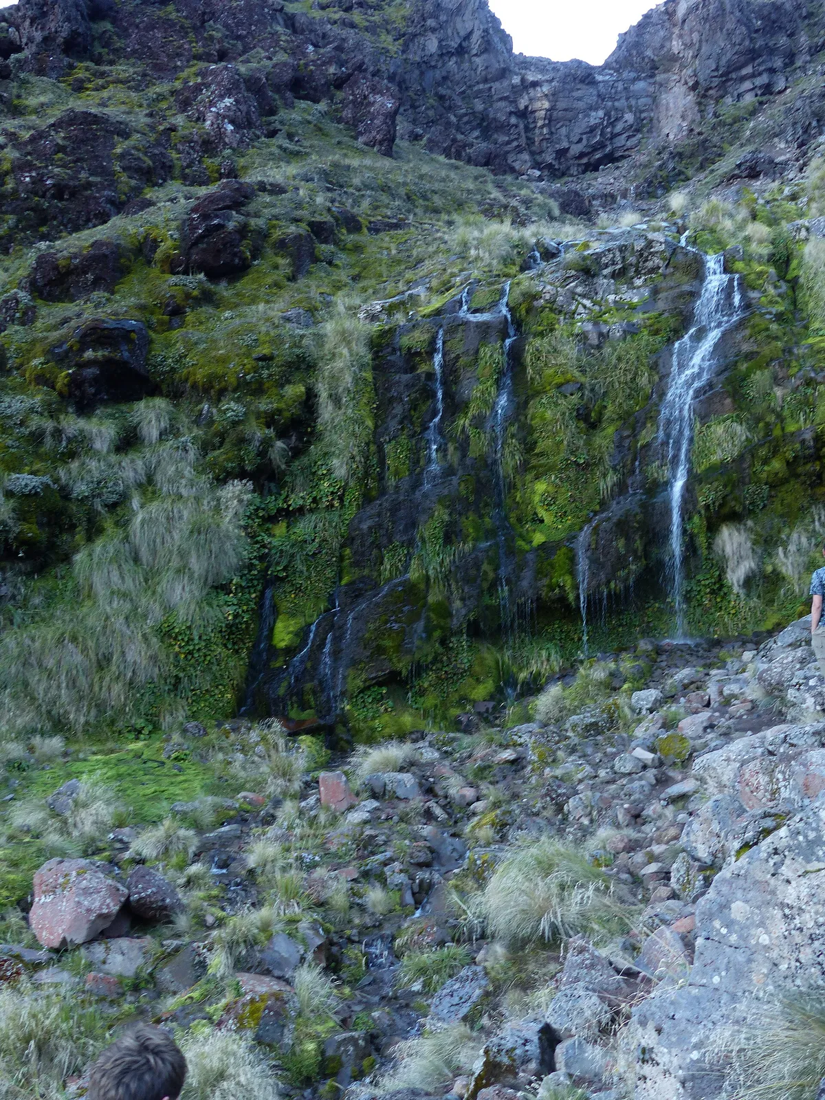
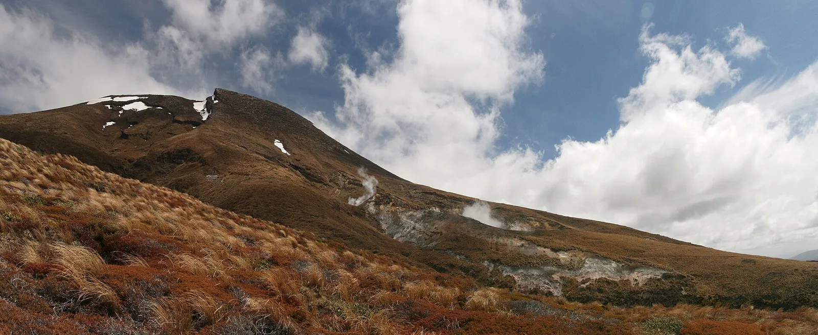
From Mangatepōpō the track climbs past Soda Springs and up the Devil’s Staircase to South Crater, then the steep ridge to Red Crater at 1,886 m. Scree leads down to the Emerald Lakes, across Central Crater to Blue Lake, and then a long switchback descent past Ketetahi Springs and through forest to the Ketetahi road end. Book a shuttle, carry warm layers and check the DOC and MetService alpine forecasts. From May to October it is an alpine route needing ice axe, crampons and the skills to use them; guided winter trips are available.
Direction. South to north (Mangatepōpō to Ketetahi) for less climbing.
Start. Mangatepōpō Road end (shuttle required; parking limited to 4 hr)
Red Crater holds snow from roughly May to October. In winter the ridges become icy slopes above drops and the poles can be buried; this is a mountaineering day, not a walk.
Best season: November to April for walkers; winter with alpine gear or a guide
 © Javier Sánchez Portero · CC BY-SA 3.0
 © Luca Sartoni · CC BY-SA 2.0
 © Du Hugin Skulblaka · CC BY-SA 4.0
 © Javier Sánchez Portero · CC BY-SA 3.0
 © NightOwlCall · CC0 © Geoff McKay · CC BY 2.0 © Du Hugin Skulblaka · CC BY-SA 4.0