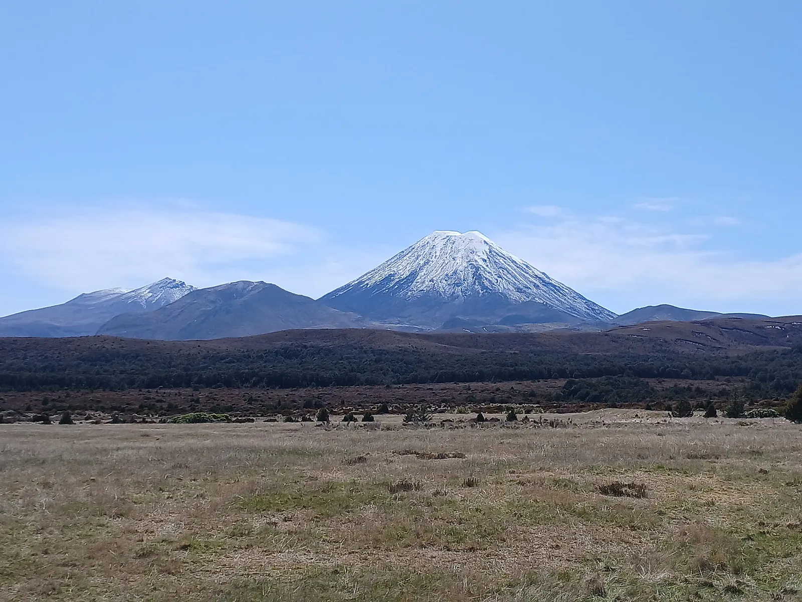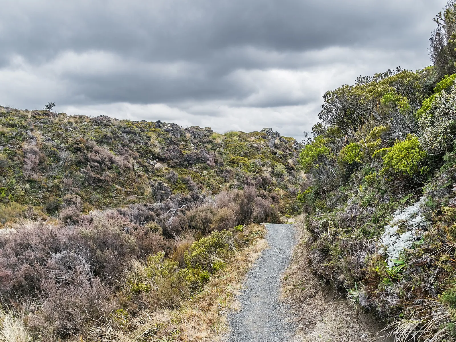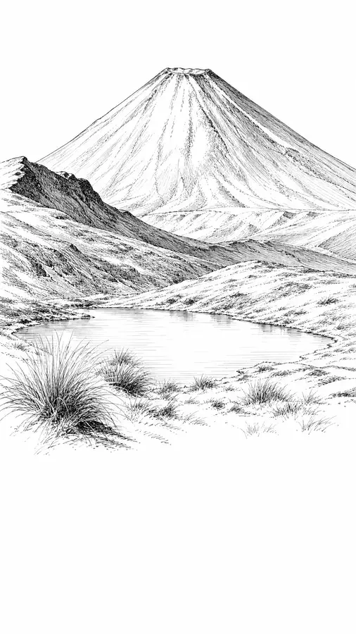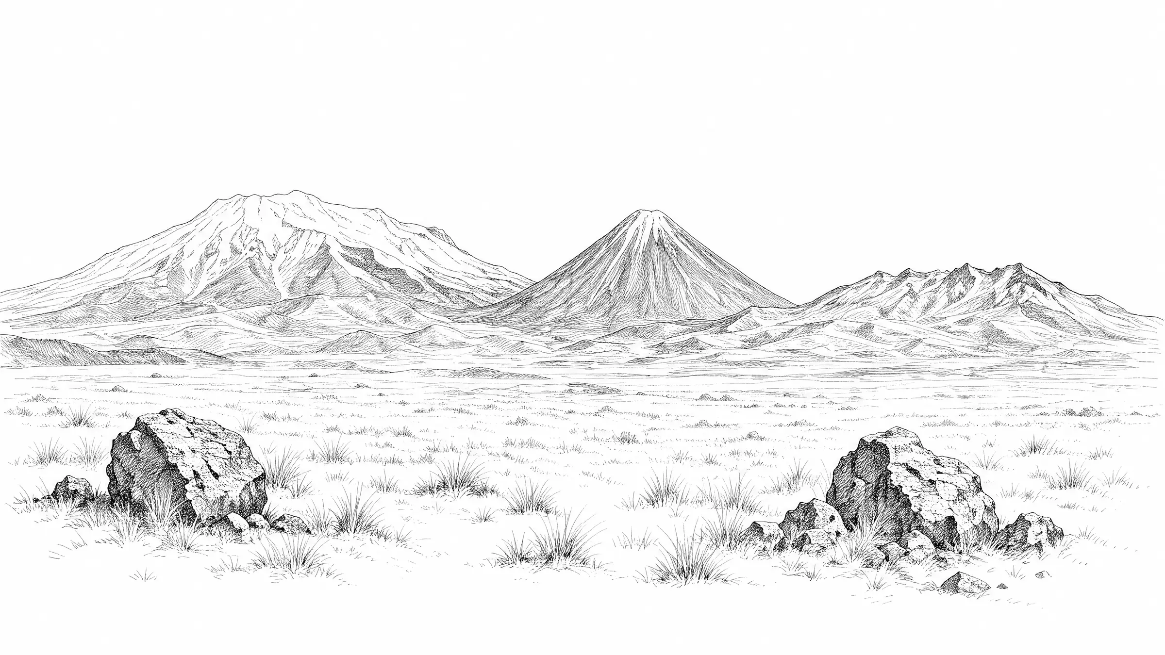
 © Krzysztof Golik · CC BY-SA 4.0
 © Krzysztof Golik · CC BY-SA 4.0
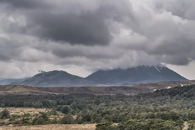
01
Whakapapa Village
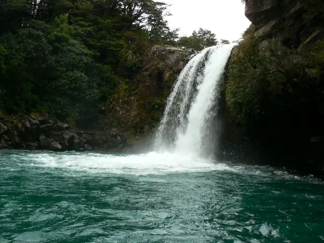
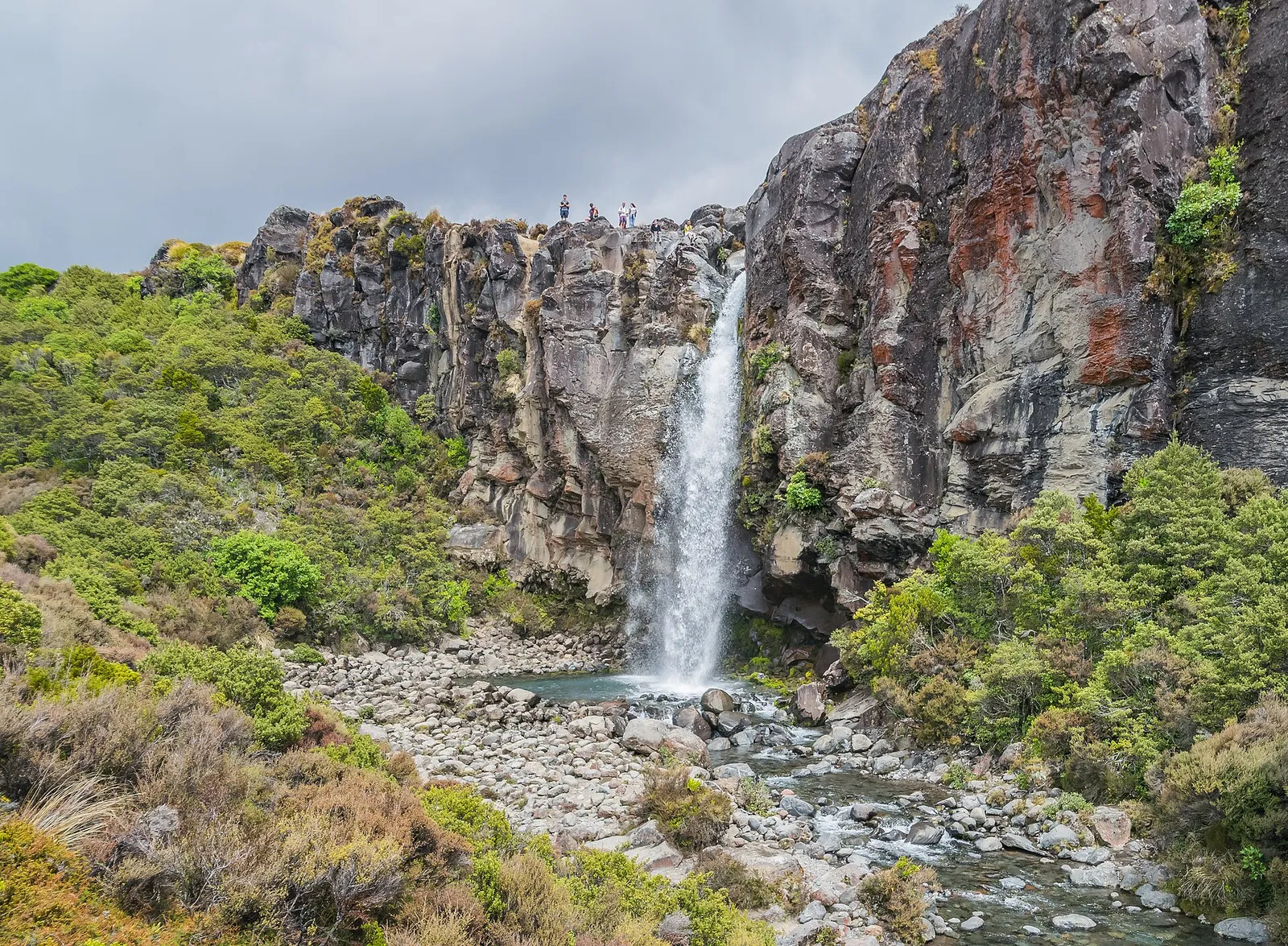
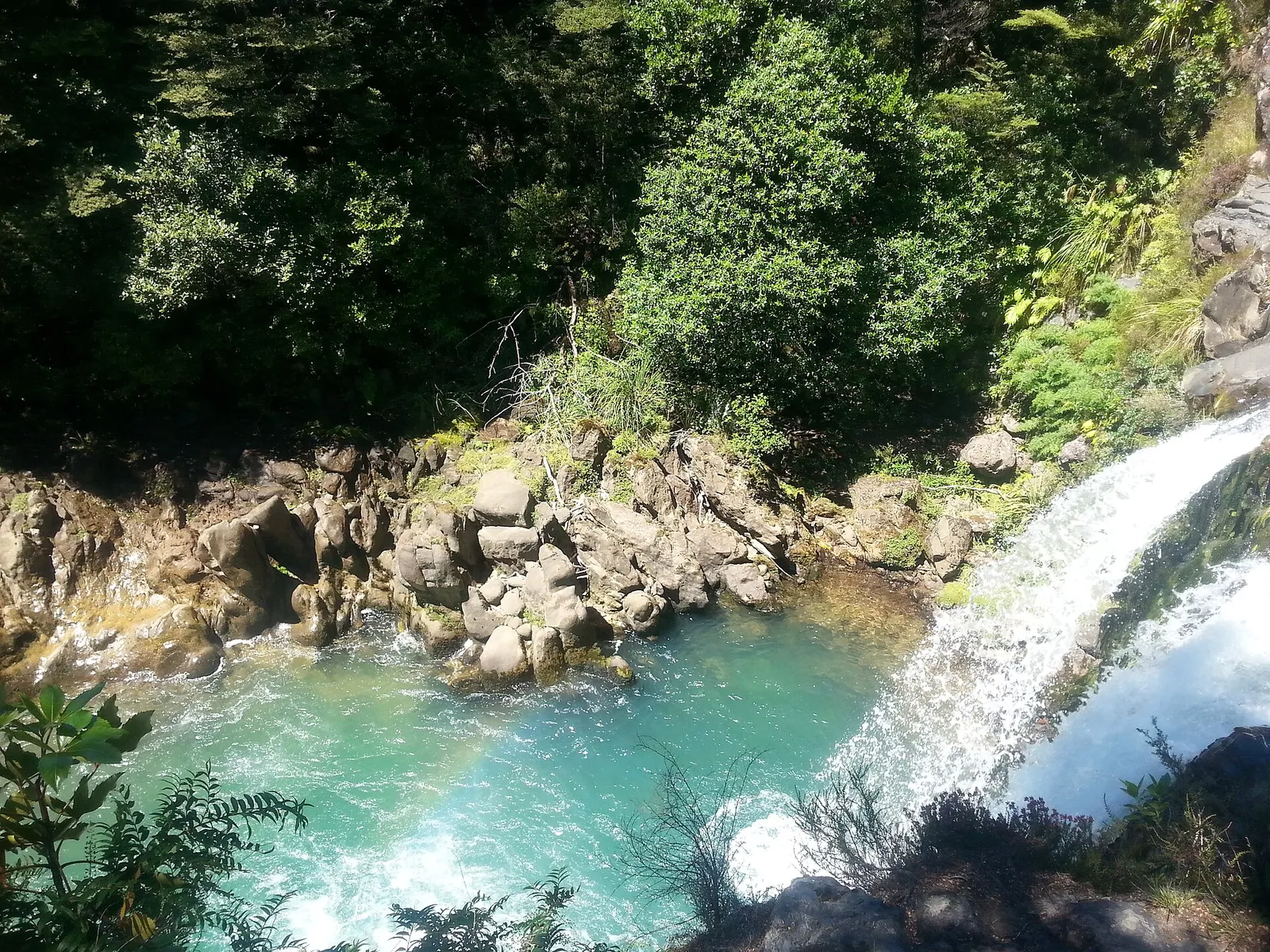
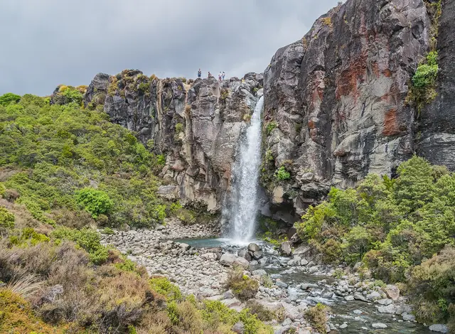
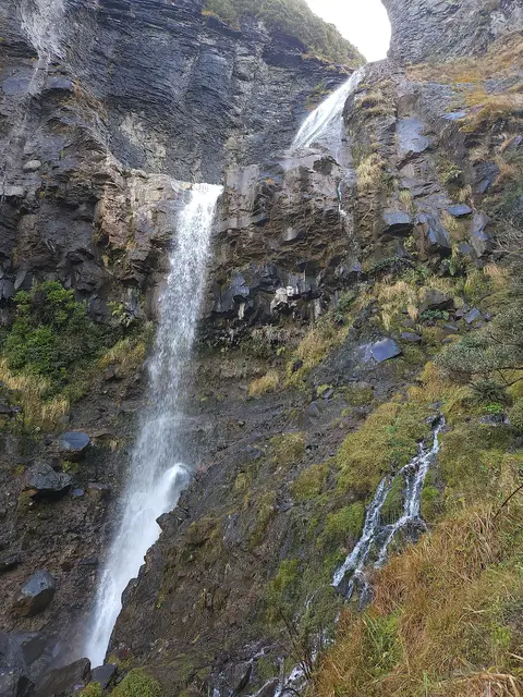
Taranaki Falls Loop
Easy 6.0 kmloop 2 hr loop ↑ 146 m
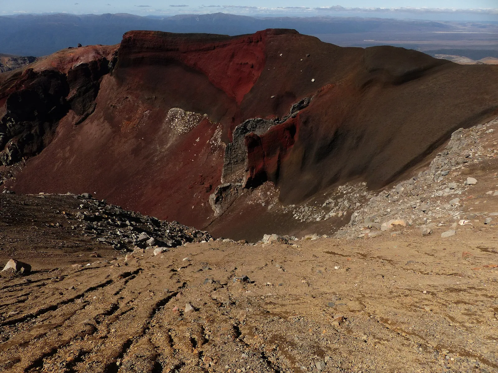
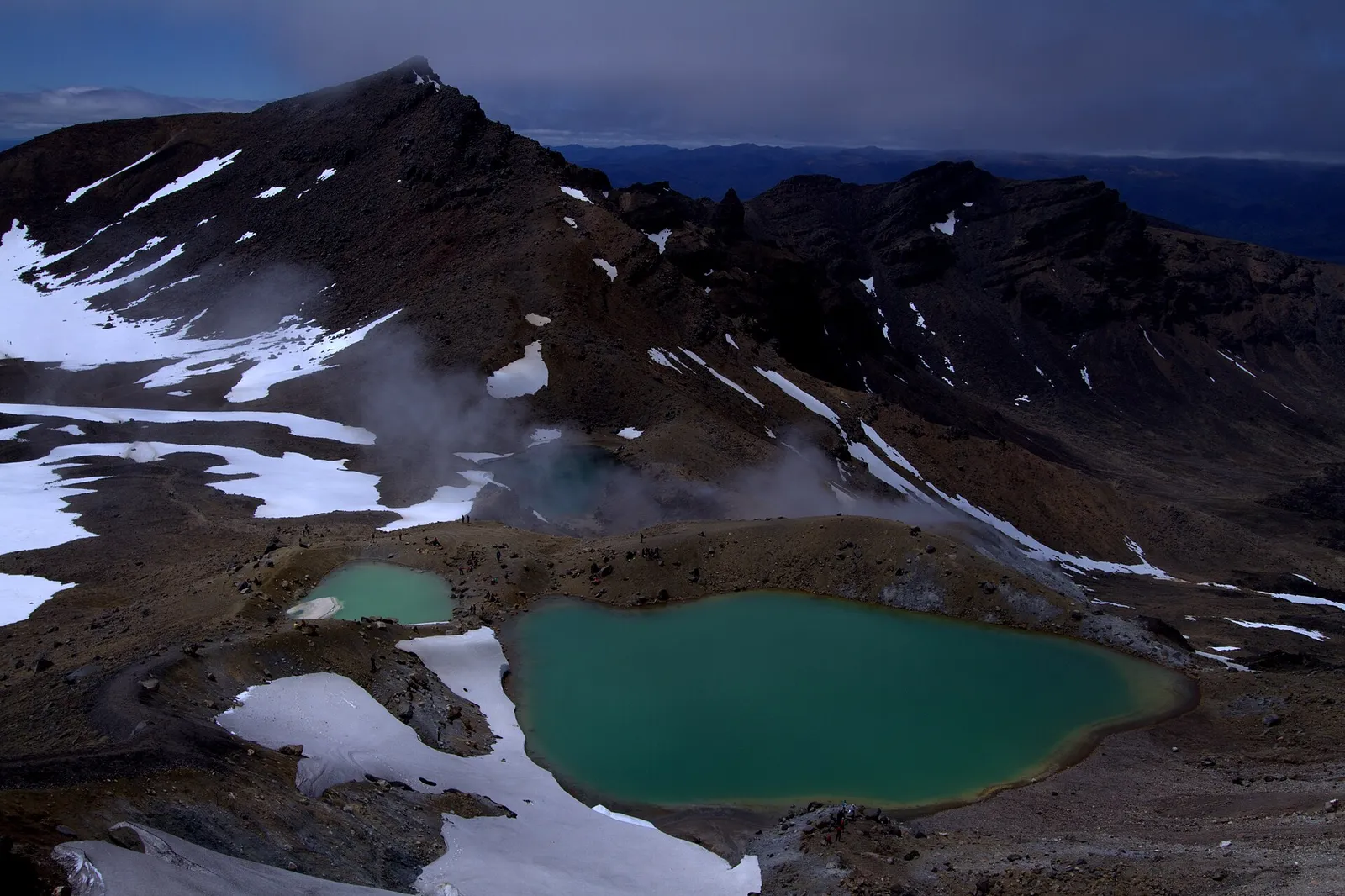
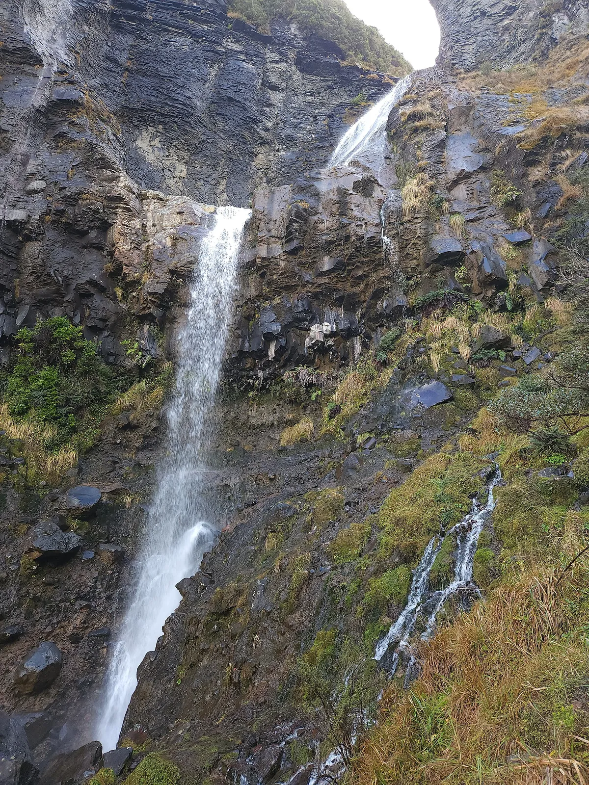
Every track, waterfall, crater and viewpoint around Ruapehu, Ngāuruhoe and Tongariro: what each walk shows you, how far it climbs, and where the snow is this month.
29 tracks · 48 places · 6 waterfalls · 7 crater lakes
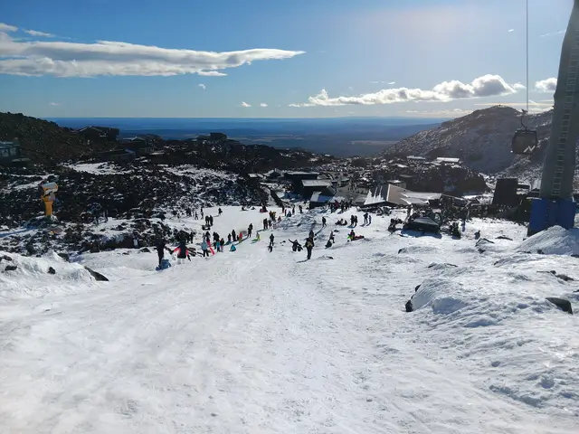
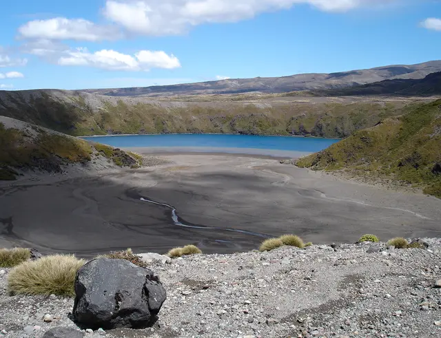
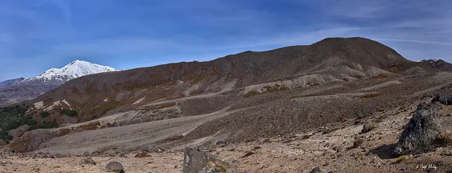
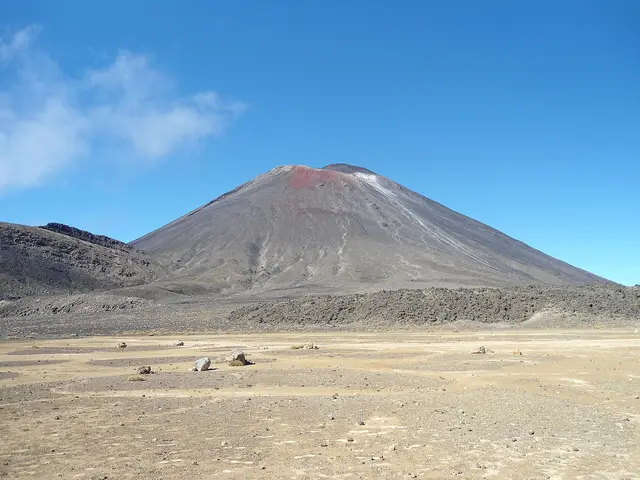
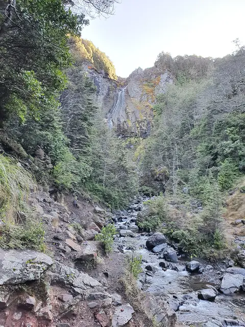
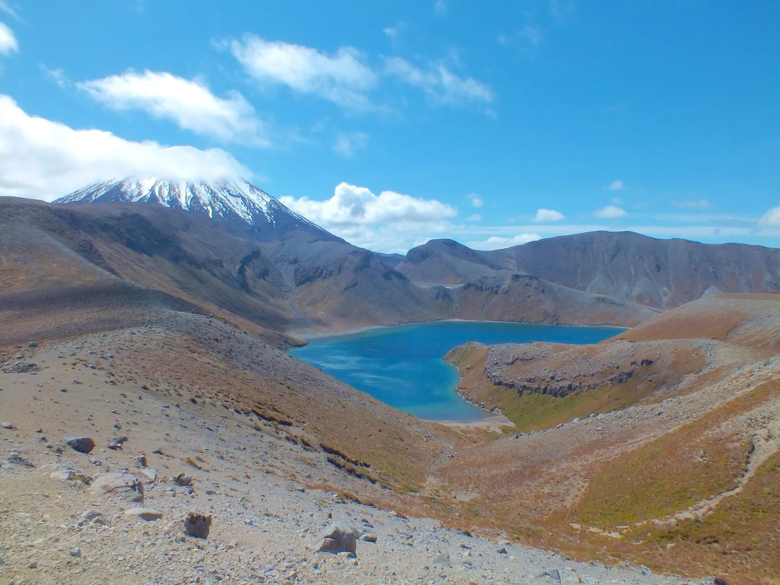
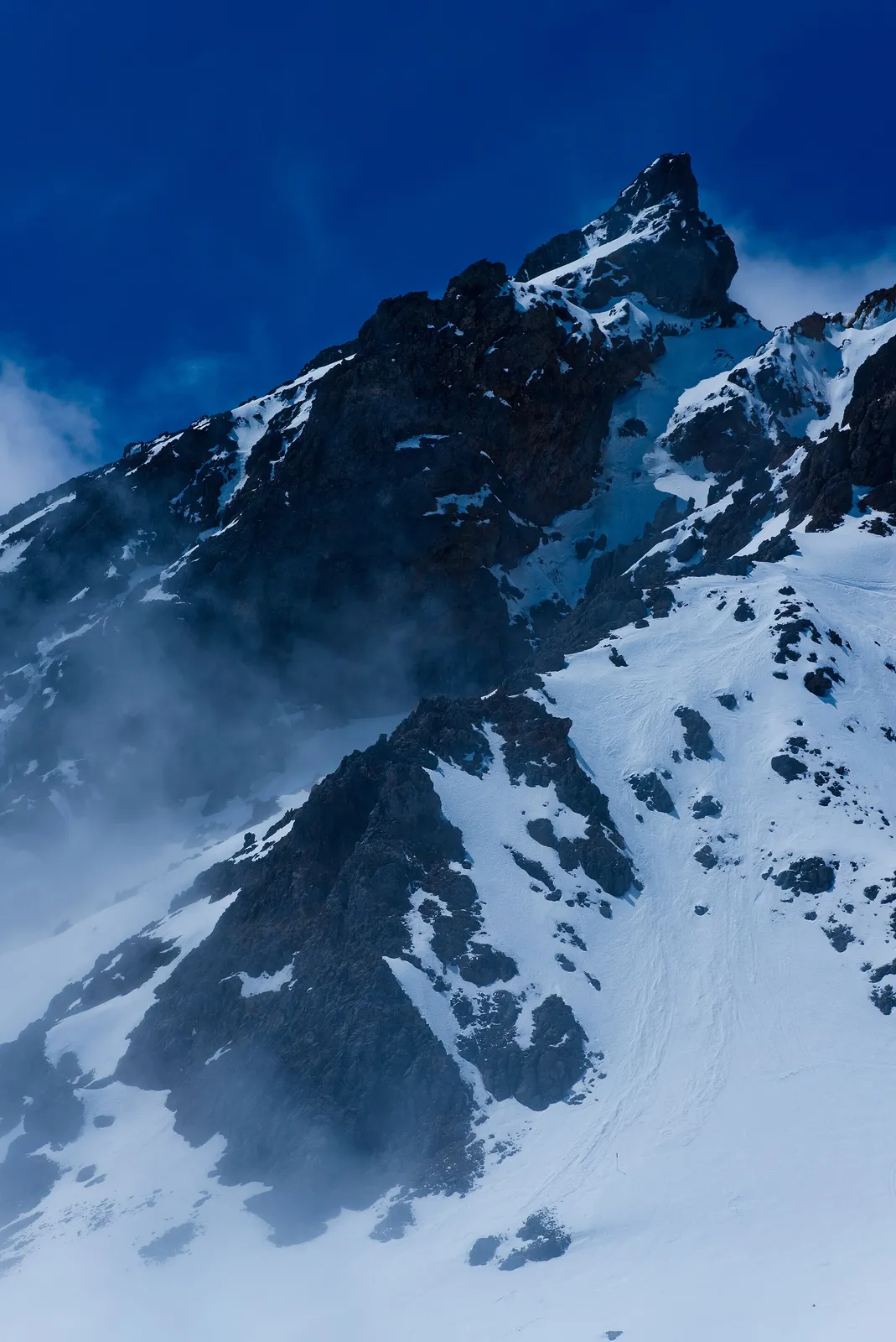
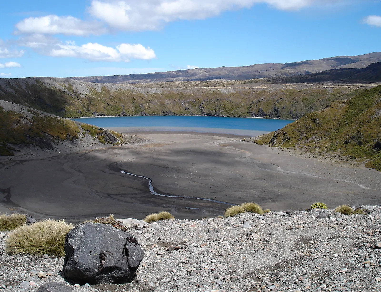
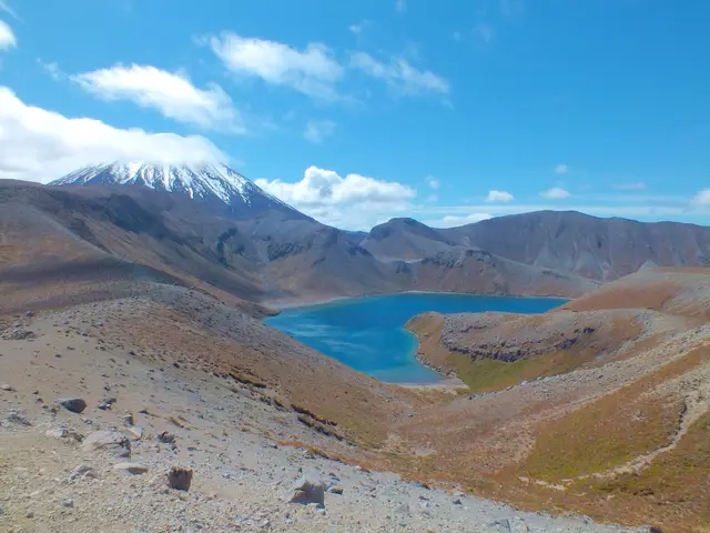
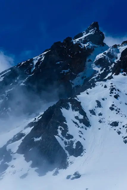
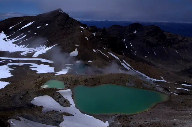
Short strolls to full days: a lava-lip waterfall, a lava wall in the snow zone, crater lakes under Ngāuruhoe, and the Crossing itself.
© Krzysztof Golik · CC BY-SA 4.0 © Krzysztof Golik · CC BY-SA 4.0 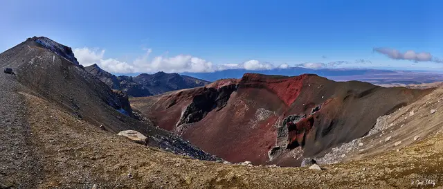 © Geoff McKay · CC BY 2.0
 © Markrosenrosen · CC BY-SA 3.0
 © ShakyIsles · CC BY-SA 4.0
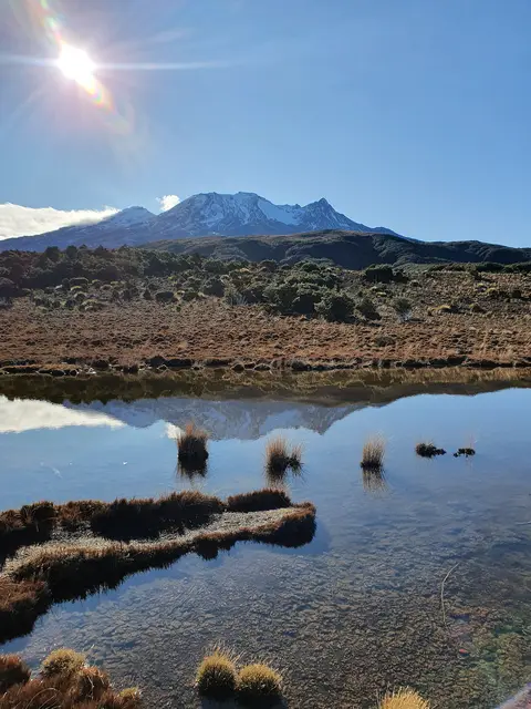 © ShakyIsles · CC BY-SA 4.0
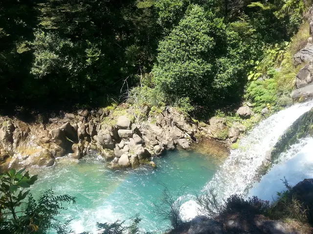 © Blueromulan · CC BY-SA 3.0
Ranked for scenery and photographs rather than effort. Each one links to the tracks that reach it.
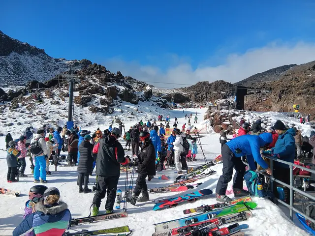
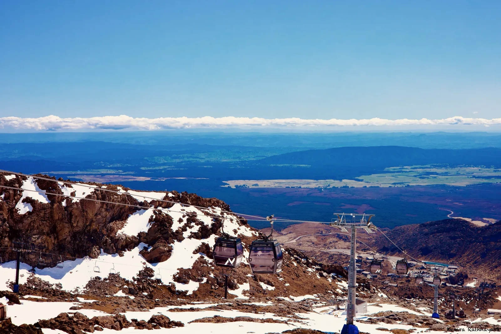
Ruapehu holds snow on the summit all year and across the ski fields from June to October. Lower tracks see it only after winter storms. Live forecast at three elevations below; the snow page has month-by-month odds for every spot.
Fetching the mountain forecast…
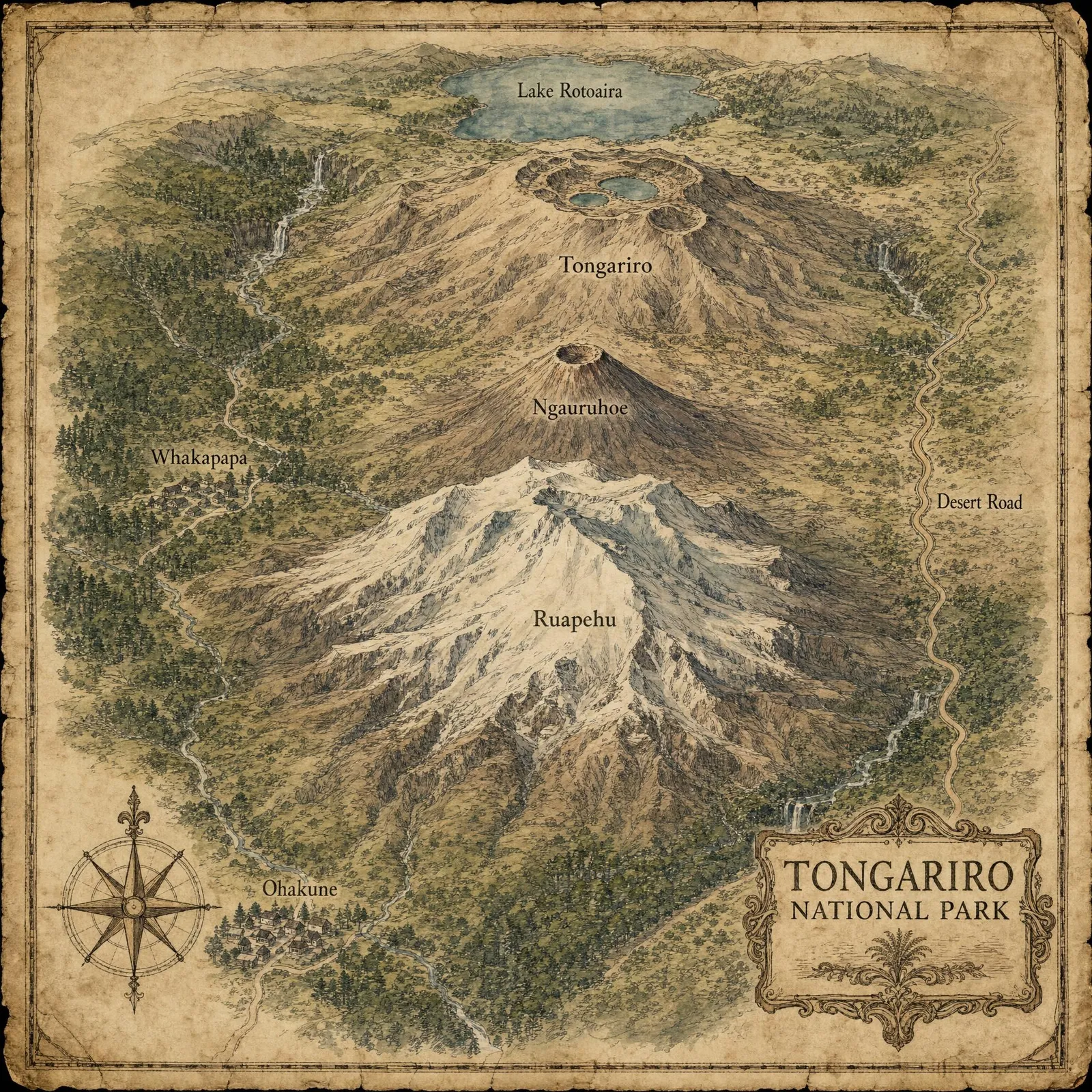
Lines coloured by difficulty. Click one to open the track; the layers button switches to satellite.