01
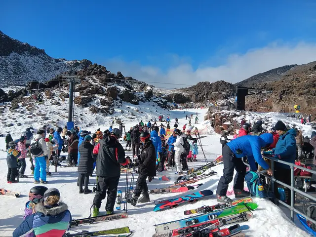
Upper Ruapehu & Whakapapa Ski Area
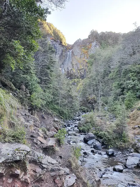
Meads Wall
Easy 1.0 km 20–30 min return
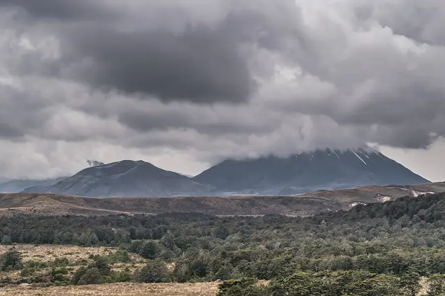
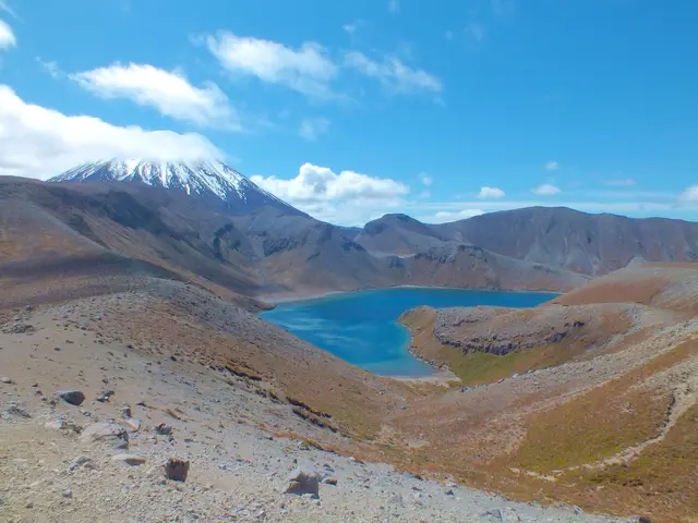
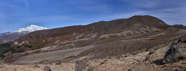
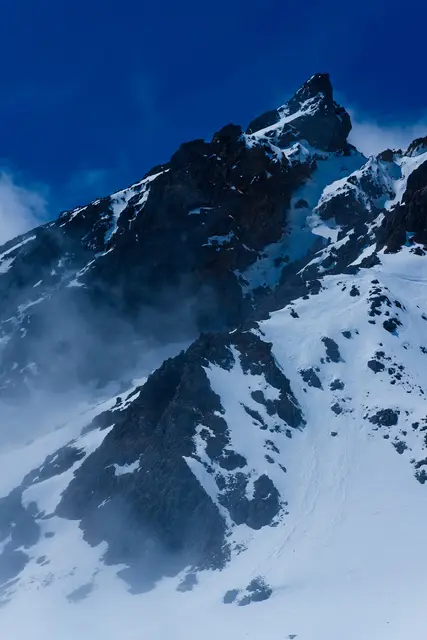
Ruapehu is the only place in the North Island with snow all year. Everywhere else in the park it comes and goes with the season and the elevation. This page tells you where to look this month and what is falling this week.
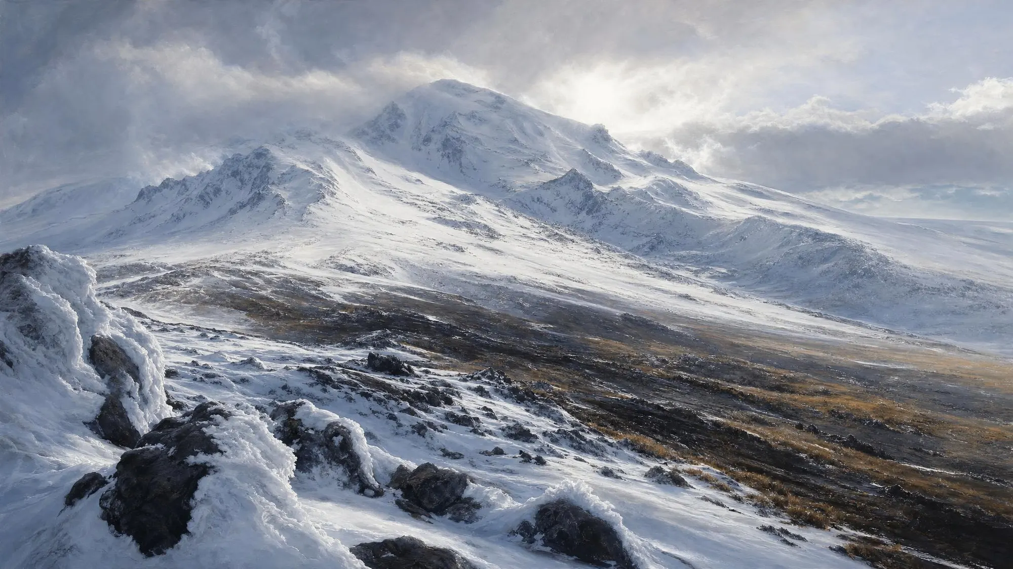 Ruapehu, late winter
Fetching the mountain forecast…
Typical snow on the ground, from the summit plateau down to the forest lakes. Tap a name for the place and its tracks.
December – February
Snow line above ~2,300 m
Only the summit plateau and glaciers hold snow. All tracks open; the Crossing is at its busiest. The Sky Waka runs for sightseeing and the upper-mountain trails open as they melt out.
March – May
First falls on the peaks from April
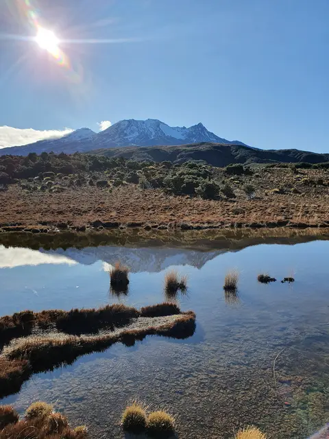
Quiet, settled weather and the best light. Early snow dusts Ngāuruhoe and Ruapehu by late April; the Crossing starts to need winter gear in May.
June – September
Snow line ~1,200–1,500 m
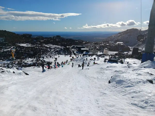
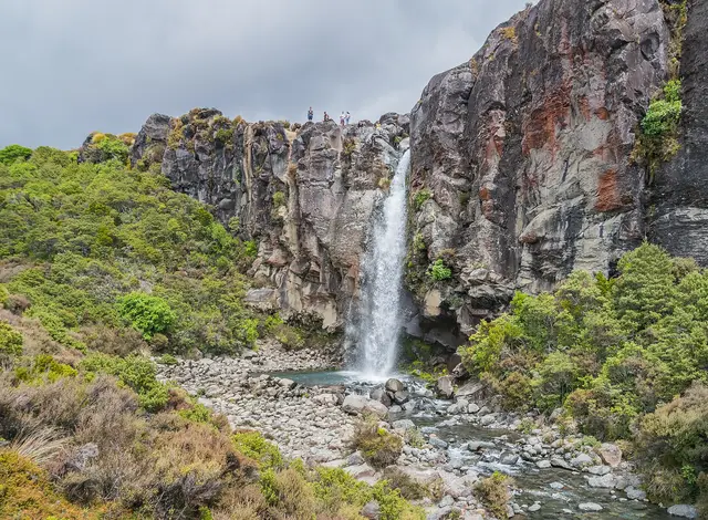
The ski areas at Whakapapa and Tūroa open (usually late June to October). Snow reaches the Tama Saddle, Meads Wall, the Waitonga and Taranaki Falls tracks and sometimes Whakapapa Village. The Crossing is an alpine mountaineering route.
October – November
Snow line retreats to ~1,600–1,800 m
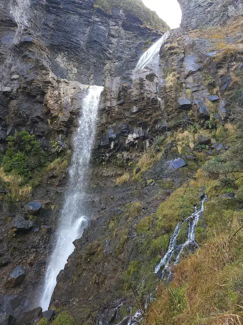
Big snow still above the ski-field bases, melting fast lower down. Waterfalls run full. The Crossing reopens to walkers once Red Crater clears, typically by November, but icy mornings linger.
 © ShakyIsles · CC BY-SA 4.0
 © ShakyIsles · CC BY-SA 4.0
 © Krzysztof Golik · CC BY-SA 4.0
 © Krzysztof Golik · CC BY-SA 4.0
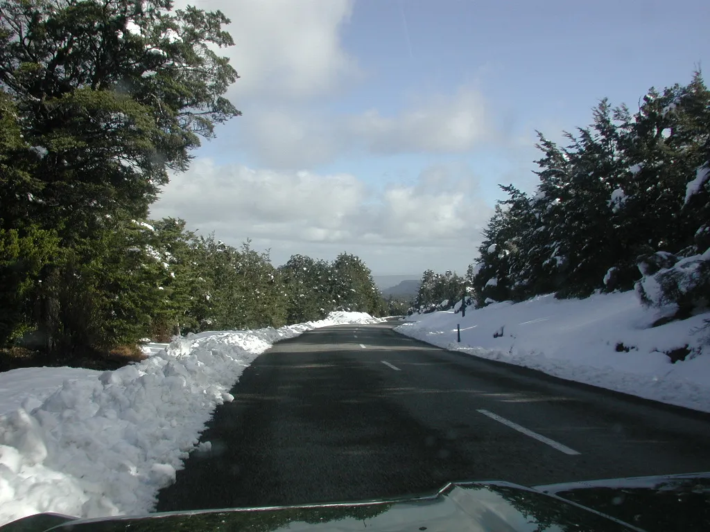 Ohakune Mountain Road after a storm © Pseudopanax at en.wikipedia · Public domain
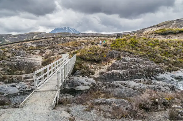
Above the snow line, marked tracks become alpine routes. Poles disappear in drifts, boardwalks ice over, and slopes that are a stroll in summer become slides above drops, especially the Red Crater ridge and the Upper Tama ridge. From May to October the Tongariro Alpine Crossing needs an ice axe, crampons and the skills to use them, or a guide.
Check the NZ Avalanche Advisory for the Tongariro region, carry a warm layer, hat, gloves and a headlamp even on short walks, and remember that Ruapehu is an active volcano: GeoNet publishes its alert level, and the Summit Hazard Zone is off-limits when it is raised.
Roads: Bruce Road, Ohakune Mountain Road and the Desert Road all close or require chains after snowfalls. NZTA Journeys and the ski area’s road report have the live status.