 © Krzysztof Golik · CC BY-SA 4.0
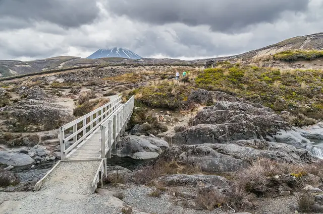 © Krzysztof Golik · CC BY-SA 4.0
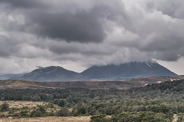
Whakapapa Village
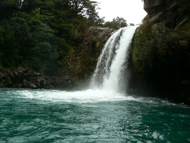
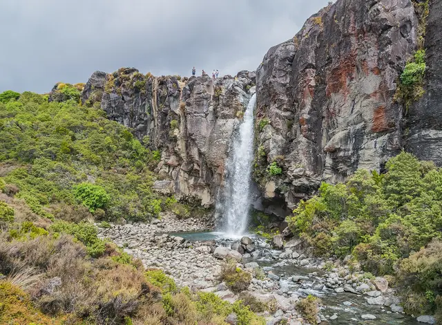
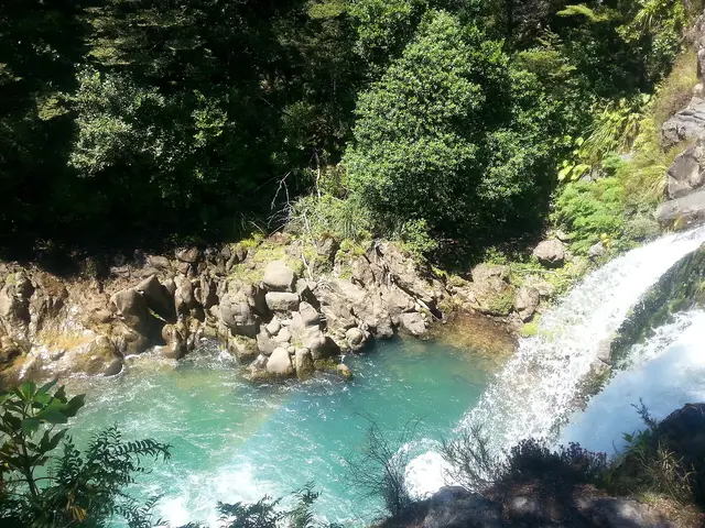
Taranaki Falls Loop
Easy 6.0 kmloop 2 hr loop ↑ 146 m
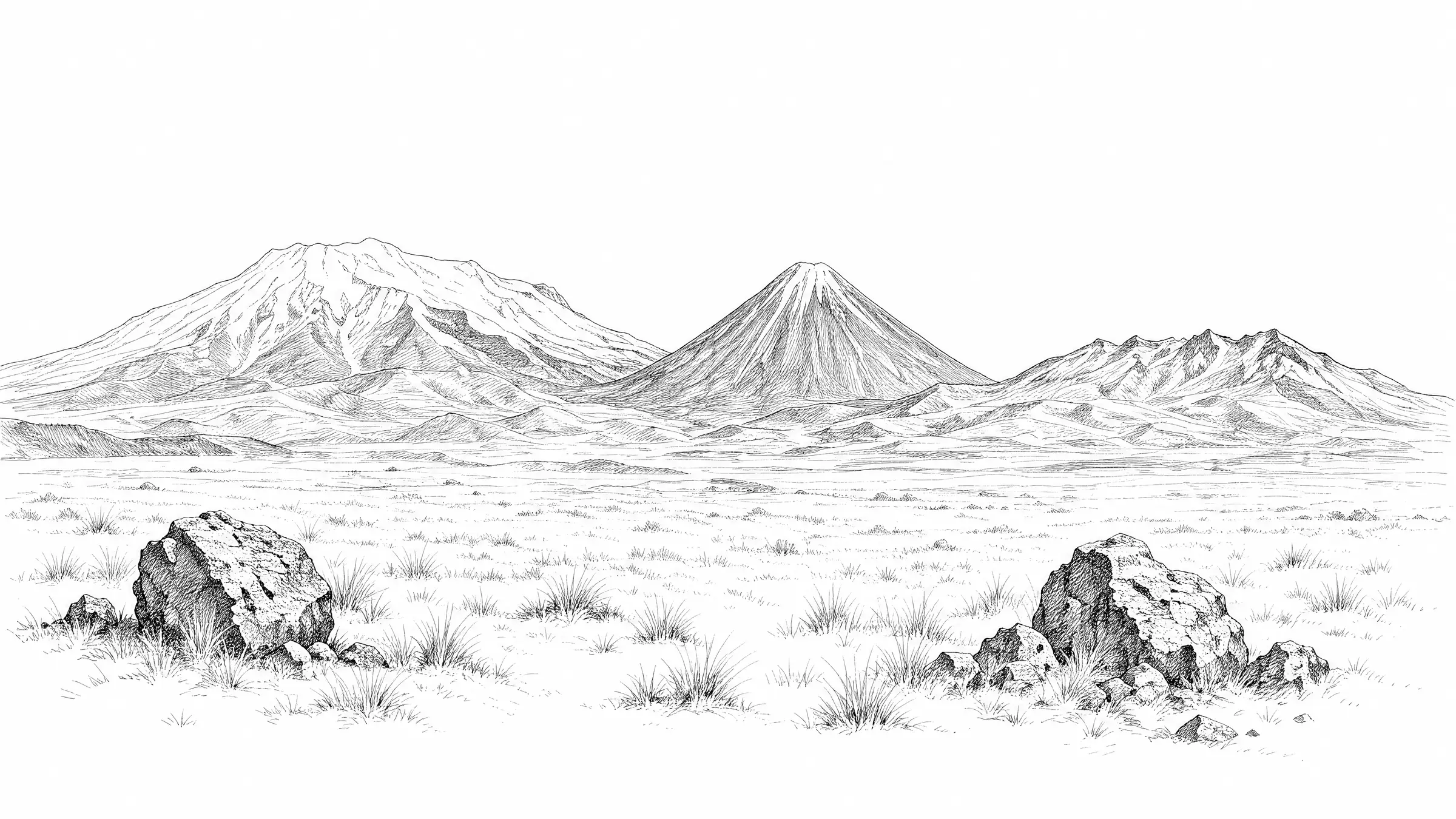
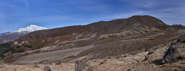
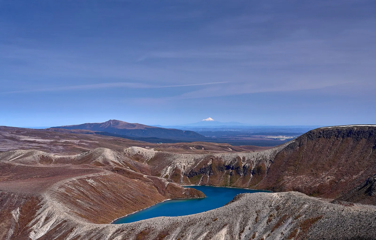
Past Taranaki Falls and across the Tama Saddle to two crater lakes between Ruapehu and Ngāuruhoe. The best big-scenery day walk from the village.
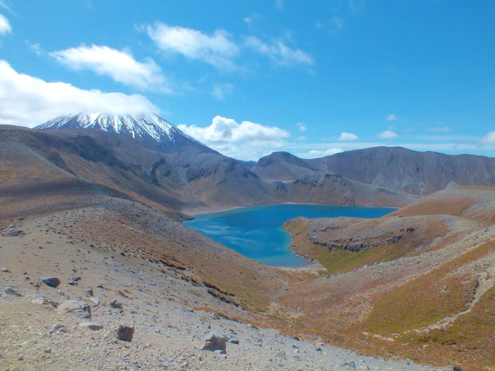 Tama Lakes Track © Bohwaz · FAL
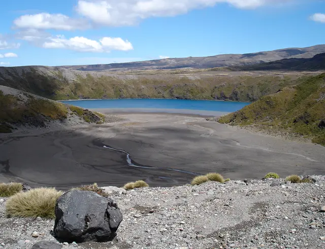 © Pavel Špindler · CC BY 3.0
 © Geoff McKay · CC BY 2.0
DOC distance 17 km; the mapped line measures 18.6 km.
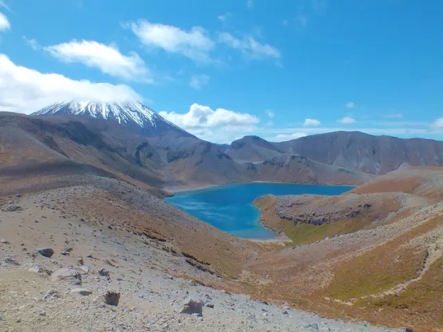
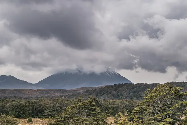
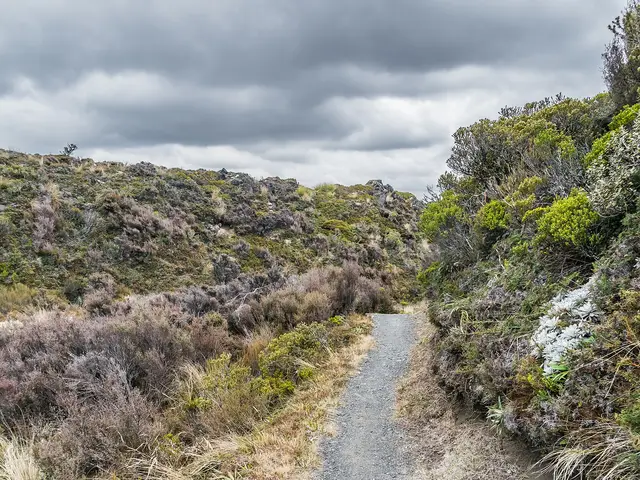
Follow the upper Taranaki Falls track to the junction above the falls, then continue east across tussock and alpine herbfield onto the Tama Saddle, with both volcanoes growing steadily larger. The Lower Tama viewpoint (1,240 m) looks straight down into the lake. The optional climb to the Upper Tama viewpoint (1,440 m) is a steep, rough, exposed ridge of loose scoria, roughly 35 minutes each way, and should be skipped in wind, cloud, snow or ice.
Direction. Out and back. Turn around at Lower Tama if the weather is marginal.
Start. Whakapapa Village
The saddle is above 1,200 m and holds snow from about June to September. The Upper Tama ridge is a winter alpine route and needs ice axe and crampons when snow-covered.
Best season: Best November to April; winter only with alpine experience
 © Geoff McKay · CC BY 2.0 © Krzysztof Golik · CC BY-SA 4.0 © Krzysztof Golik · CC BY-SA 4.0
 © Krzysztof Golik · CC BY-SA 4.0
 © Blueromulan · CC BY-SA 3.0