Whakapapa Village
Tama Lakes Track
Intermediate 17 kmreturn 5–6 hr return ↑ 686 m
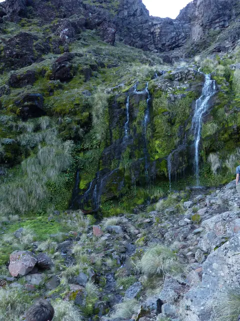
The gentle first stage of the Crossing: up a lava valley beneath Ngāuruhoe to a cold spring and its wildflowers.
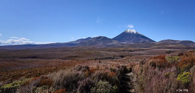
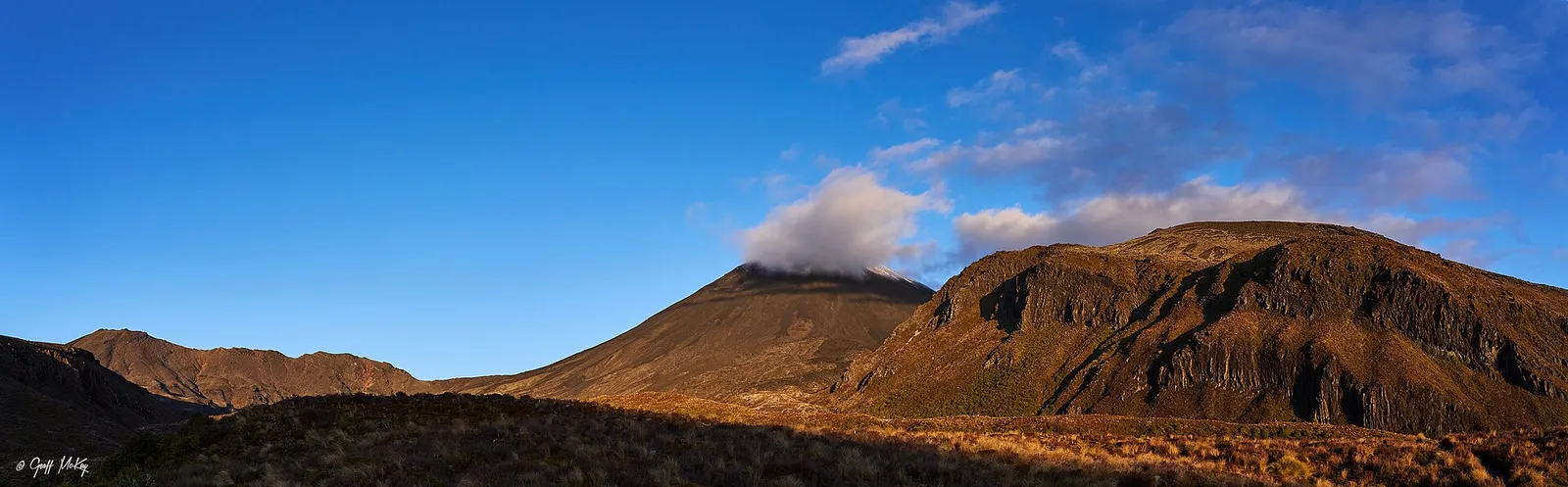 Mangatepōpō Valley & Soda Springs © Geoff McKay · CC BY 2.0
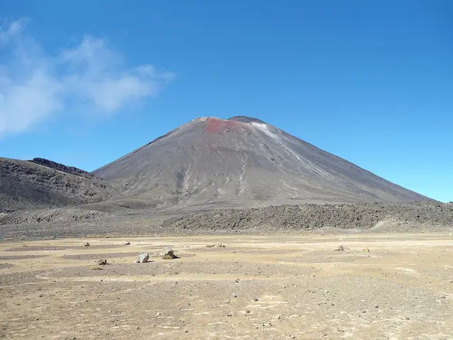
 © Du Hugin Skulblaka · CC BY-SA 4.0
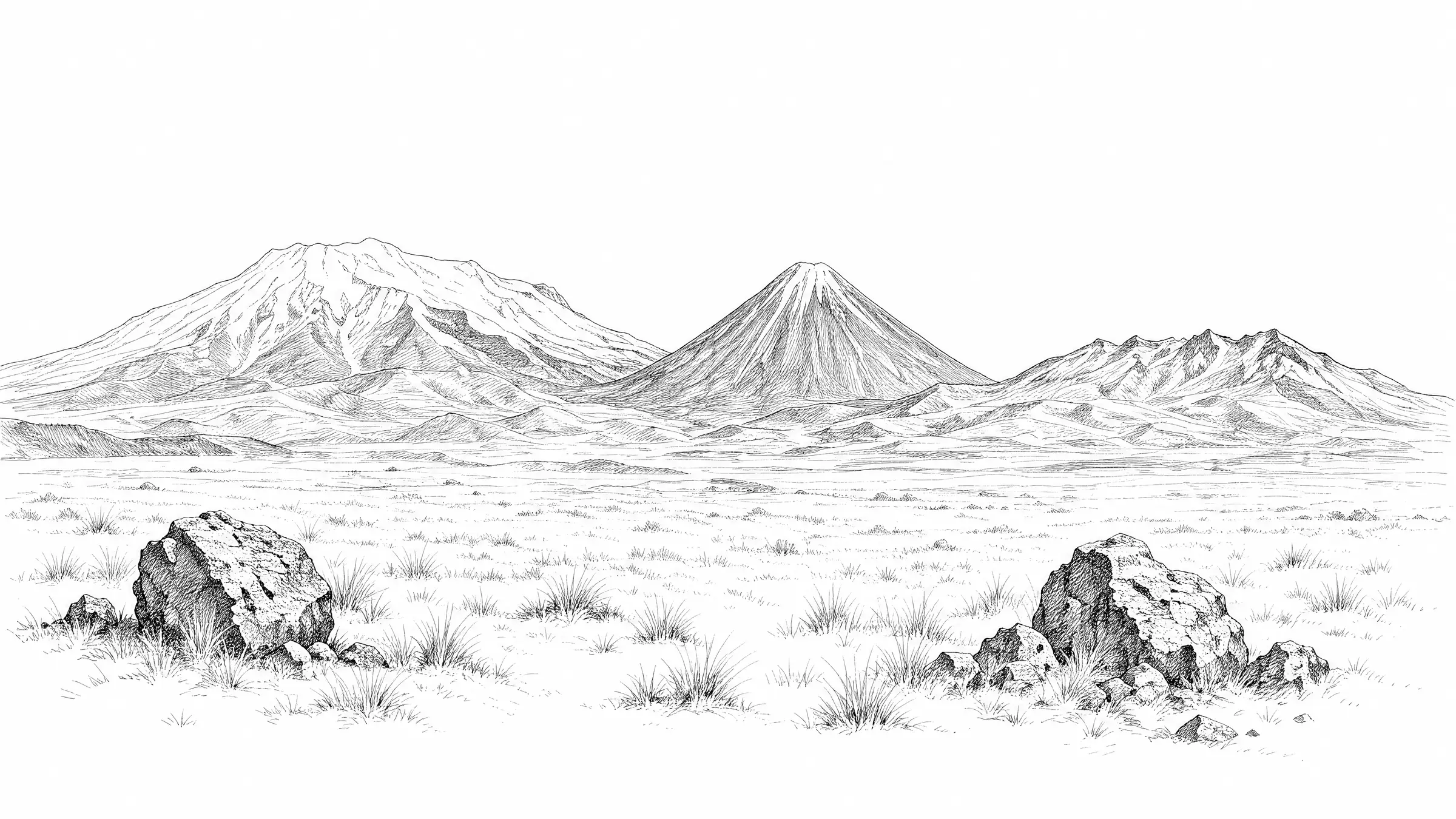
 © Porcinno Rondus · CC BY 3.0
DOC distance 6 km; the mapped line measures 9.3 km.
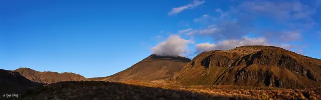
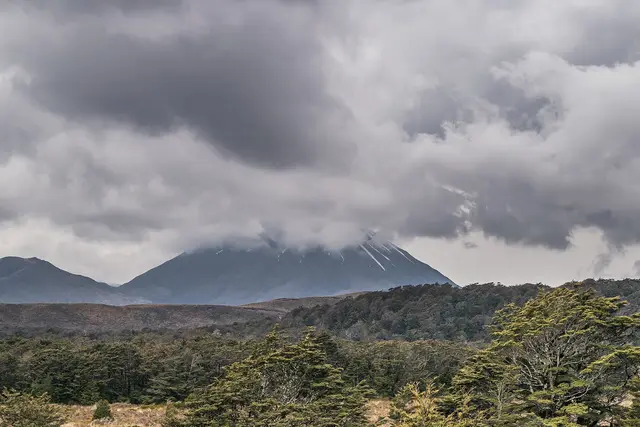
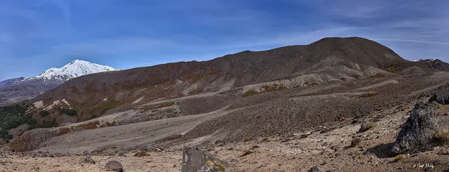
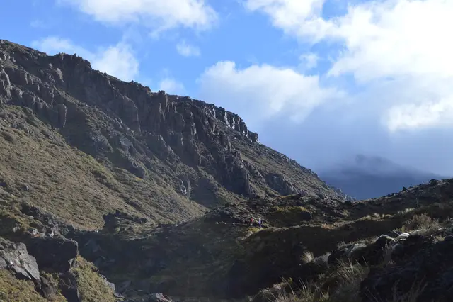
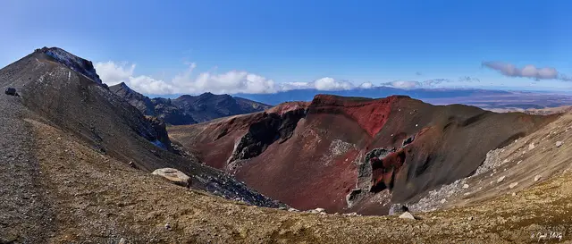
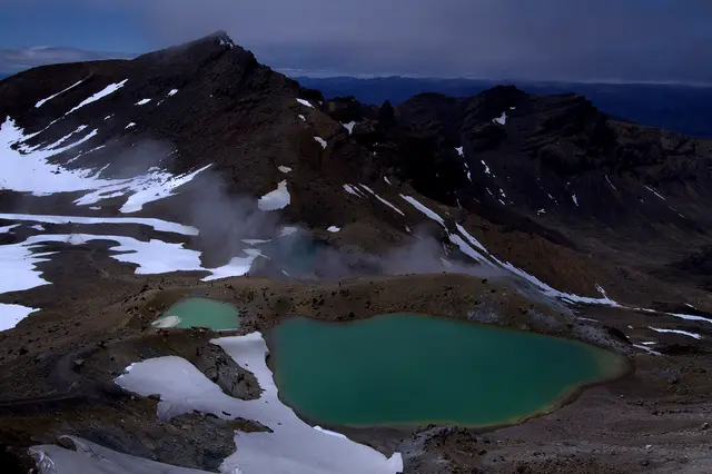
Boardwalks and gravel follow the Mangatepōpō Stream between lava flows from Ngāuruhoe’s 1949 and 1954 eruptions. At the head of the valley a side path reaches Soda Springs. Return the same way, or continue up the Devil’s Staircase to the South Crater rim for a bigger day.
Start. Mangatepōpō Road end
Snow often reaches the valley head in winter; the valley floor is usually walkable.
Best season: All year
Live forecast →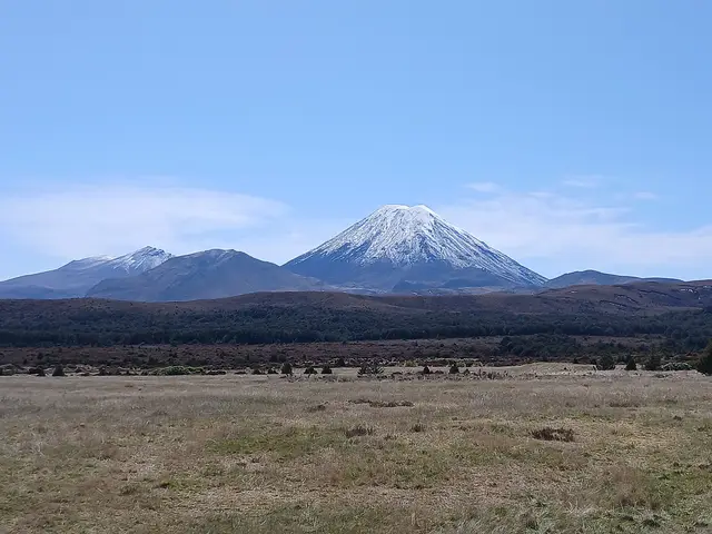 © NightOwlCall · CC0
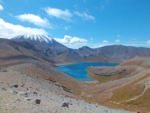
 © Geoff McKay · CC BY 2.0
 © Markrosenrosen · CC BY-SA 3.0