Upper Ruapehu & Whakapapa Ski Area
Meads Wall
Easy 1.0 km 20–30 min return
A high, exposed summer trail from the gondola to a 2,300 m ridge with the widest panorama on the mountain.
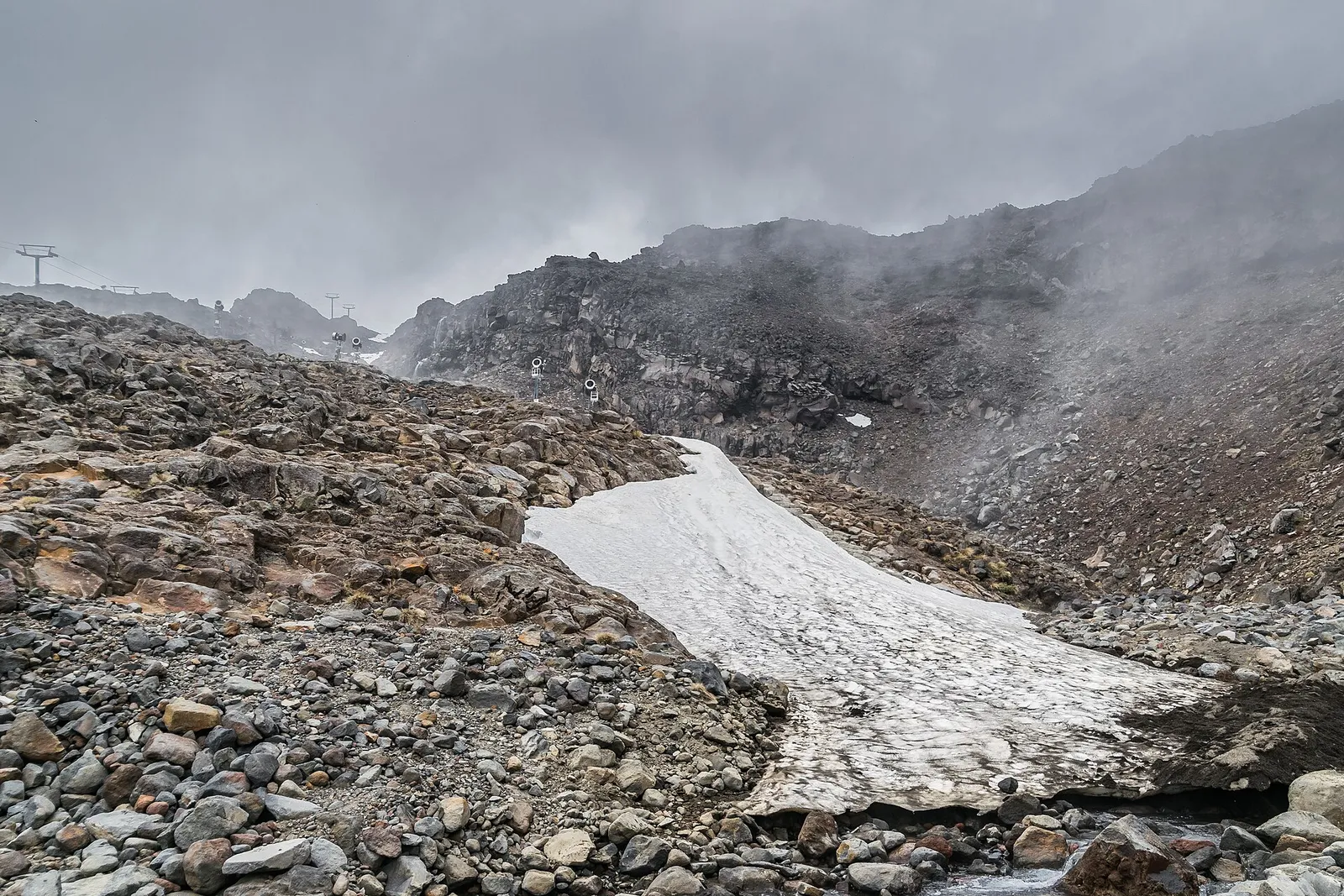 Skyline Ridge Trail © Krzysztof Golik · CC BY-SA 4.0
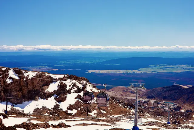 © Kesara Rathnayake · CC BY-SA 2.0
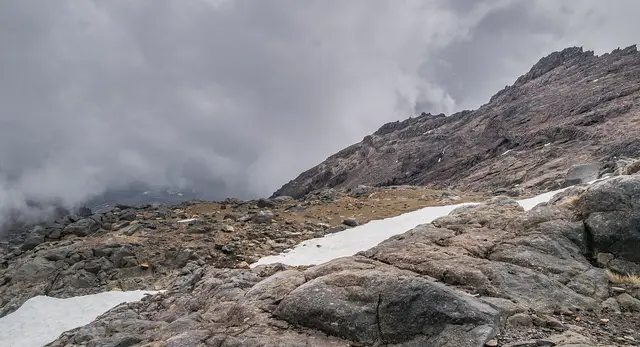 © Krzysztof Golik · CC BY-SA 4.0
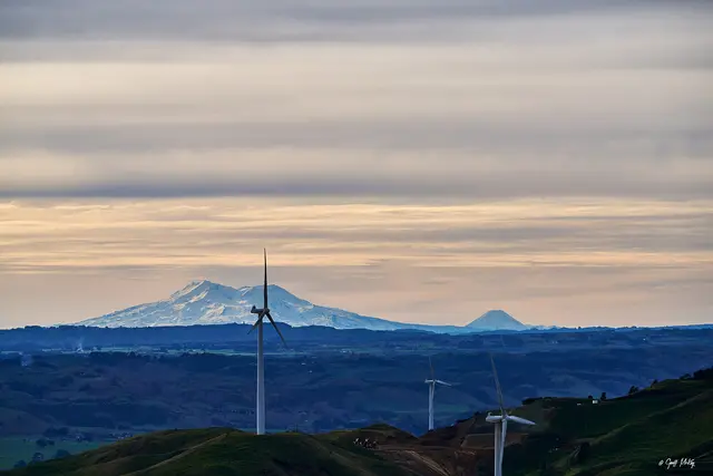
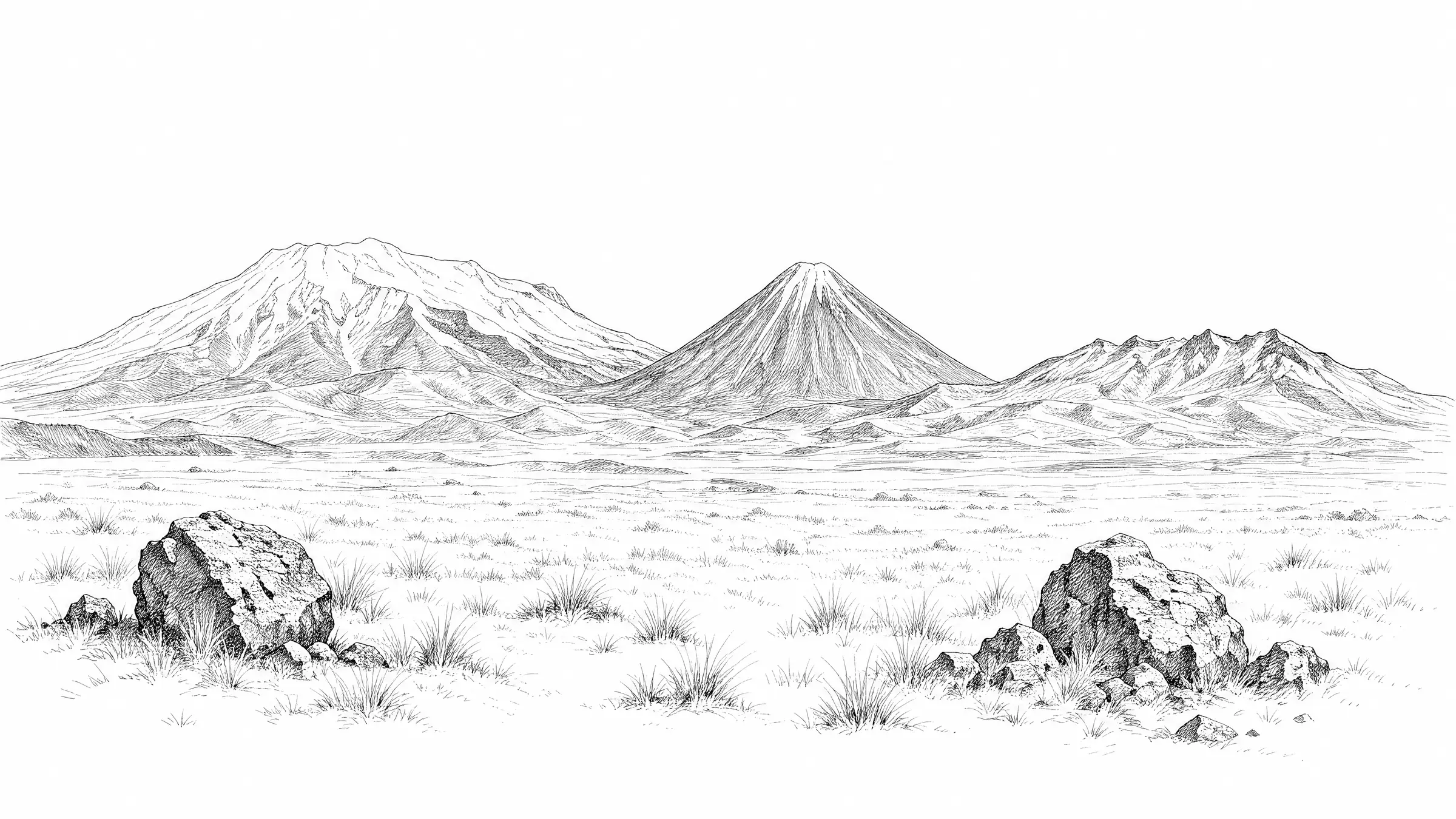
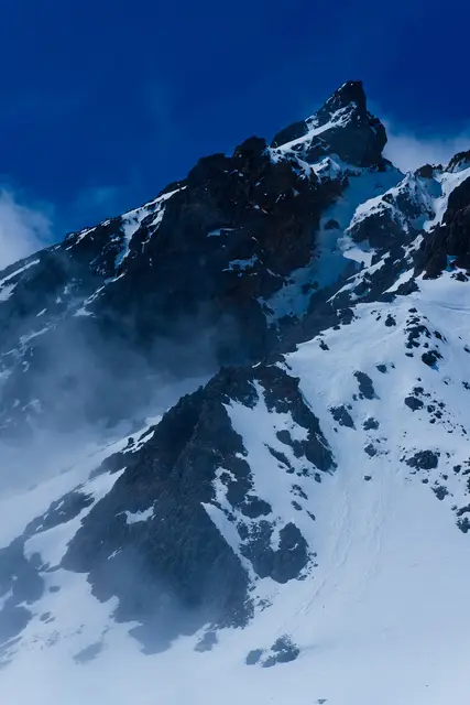
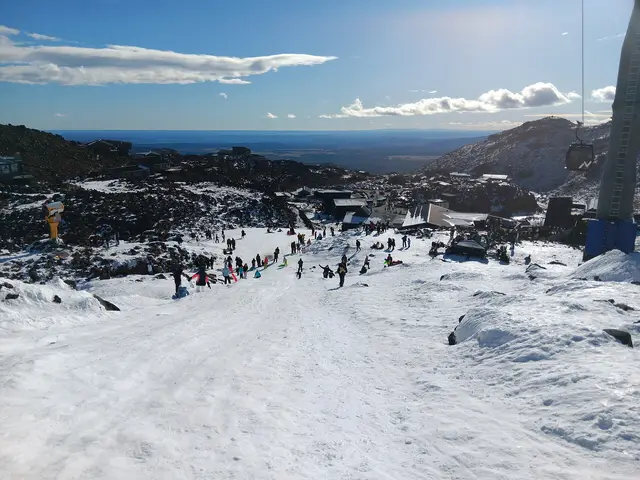
Only open when the Sky Waka runs in summer and the route is snow-free. From the chalet the trail climbs scoria and rock steps along a ridge above the Whakapapa Glacier, with Ngāuruhoe, Tongariro, Lake Taupō and sometimes Mount Taranaki in view. The upper section is unmarked and rough.
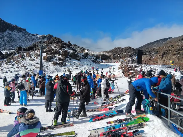
Start. Knoll Ridge Chalet (top of the Sky Waka gondola)
Snow patches persist well into summer; the trail closes whenever snow or ice is present.
Best season: Roughly late December to April, gondola days only
© Kesara Rathnayake · CC BY-SA 2.0 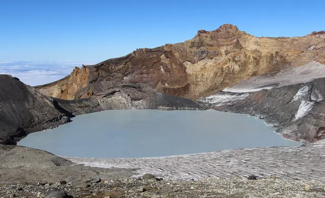 © Michal Klajban · CC BY-SA 4.0
 © WolfmanSF · CC BY-SA 3.0