Whakapapa Village
Whakapapaiti Valley Track
Intermediate 16 kmloop 4–5 hr loop ↑ 640 m
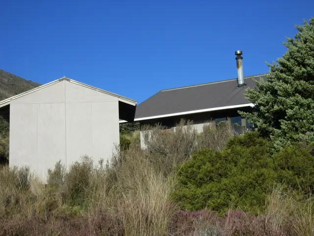
A remote valley loop below Ruapehu’s western lava flows, with a 20-bunk serviced hut.
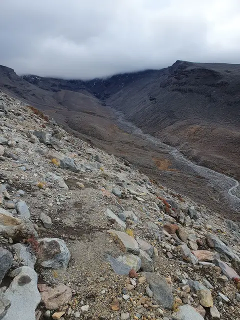
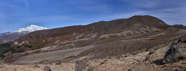
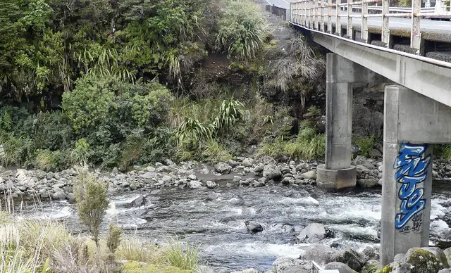
The Whakapapaiti Valley Track leaves the Silica Rapids approach and climbs through forest and tussock to the Whakapapaiti Stream, with views of Ruapehu’s western face, glacial moraine and old lava flows. The hut sits in a sheltered clearing; the track rejoins Bruce Road above the village.
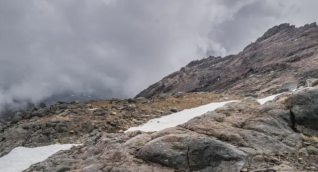
❄ Upper sections around 1,300–1,450 m regularly carry winter snow.
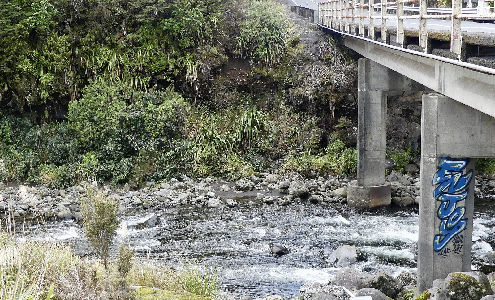 Whakapapaiti Valley & Hut © Mike Dickison · CC0
 © Sarang · WTFPL
 © Sarang · Public domain
 © ShakyIsles · CC BY-SA 4.0
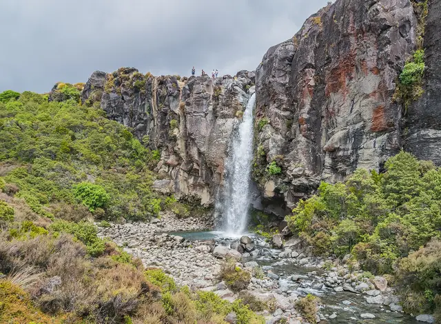
A 20 m waterfall plunging over the edge of a 15,000-year-old lava flow.
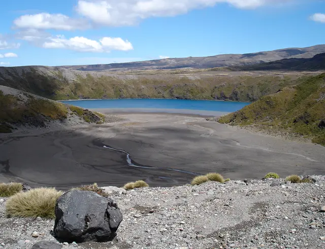
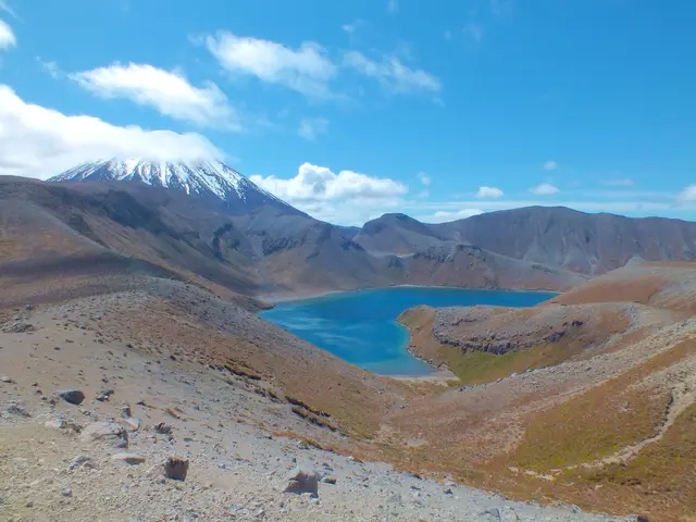
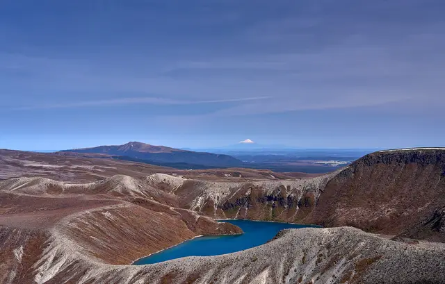
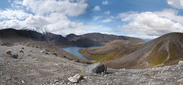
A deep blue explosion crater lake on the saddle between Ruapehu and Ngāuruhoe.
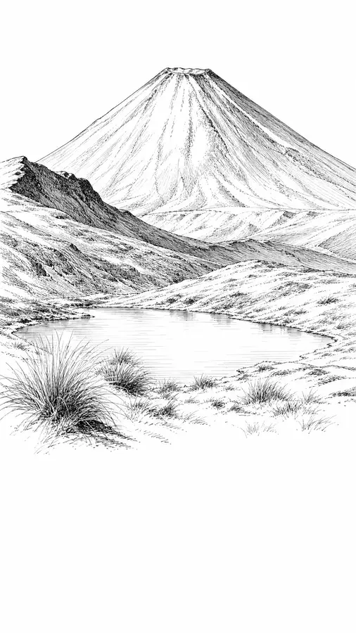
The most dramatic viewpoint in the Whakapapa area: a crater lake directly below Ngāuruhoe.