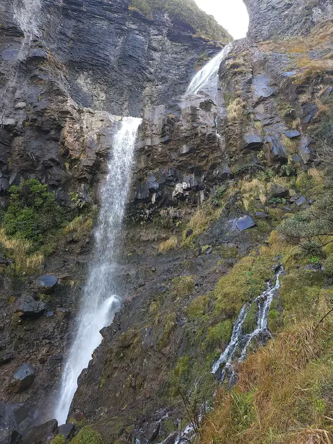
 © ShakyIsles · CC BY-SA 4.0
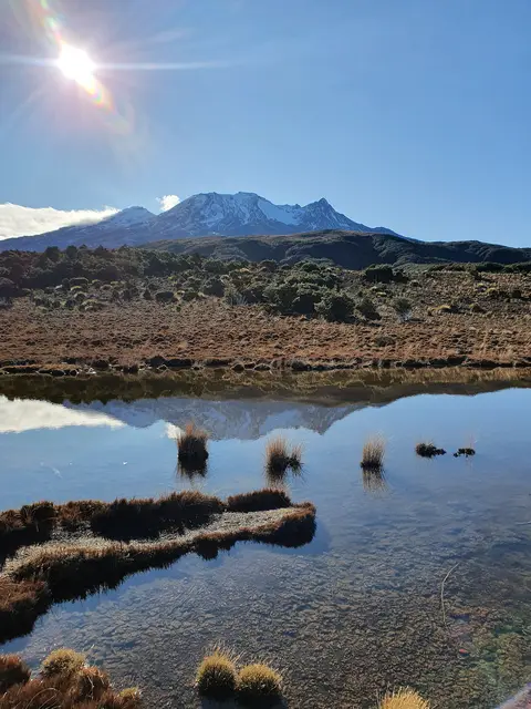 © ShakyIsles · CC BY-SA 4.0
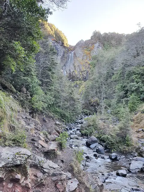
Ohakune & Tūroa
Waitonga Falls Track
Easy 4.0 kmreturn 1 hr 20 min return ↑ 316 m
A forest track west of the park to a lookout facing Mount Taranaki and a remote, tall waterfall.
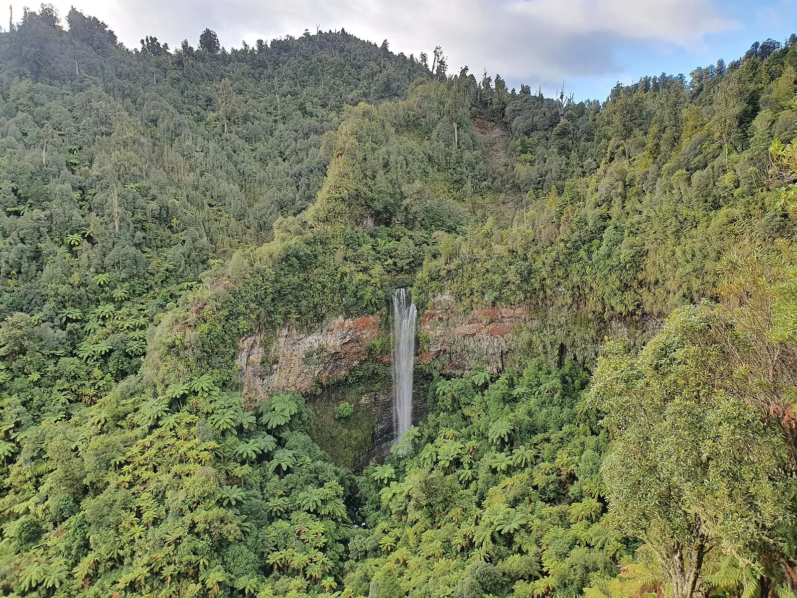 Tupapakurua Falls Track © ShakyIsles · CC BY-SA 4.0
 © Krzysztof Golik · CC BY-SA 4.0
DOC distance 11 km; the mapped line measures 6.2 km.
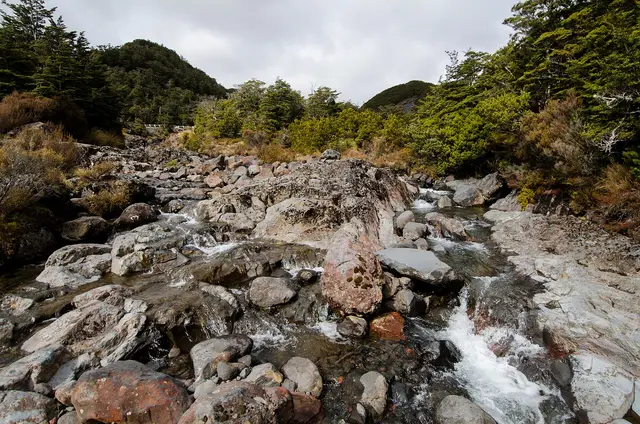
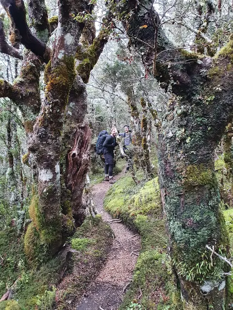
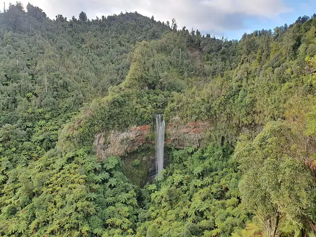
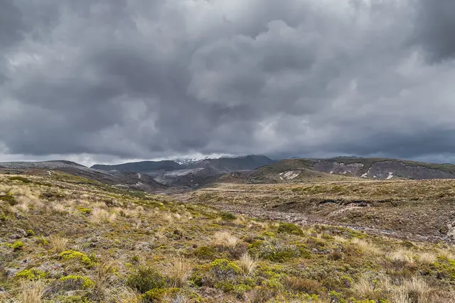
The first hour to the Taranaki Lookout is easy. Beyond it the track becomes steep and rough, descending through podocarp forest to lookouts facing the Tupapakurua Falls as they drop into a gorge. A good choice when the mountains are stormbound.
Start. Fishers Road, Erua (near National Park Village)
© ShakyIsles · CC BY-SA 4.0 © ShakyIsles · CC BY-SA 4.0 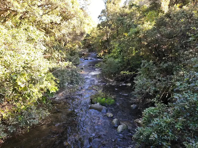 © ShakyIsles · CC BY-SA 4.0